
Boondocking in the Bush River FSR
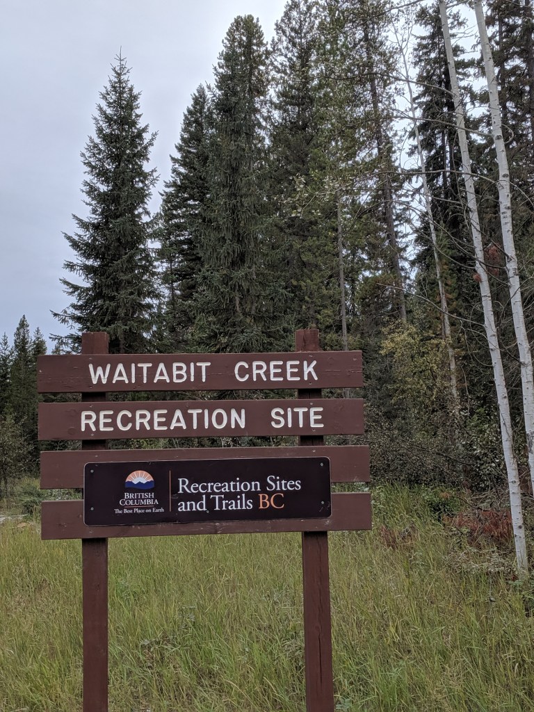
We camped one night between Yoho National Park and Glacier National Park at the Waitabit Creek recreation site. This is the first of 11 such sites in the forest area as you head north on Bush Forest Service road aka Log Dump Road. Easy access off of HWY 1 at Donald drive and very well marked. Google maps got us there but their turnoff for Donald drive was slightly off; plan to just watch as you approach the Donald “town” area. All logging road areas and there were morning logging truck traffic that you could hear but nothing too loud or disruptive.
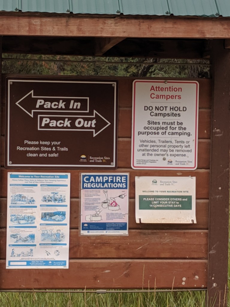
14 day limit & Pack In/Pack Out 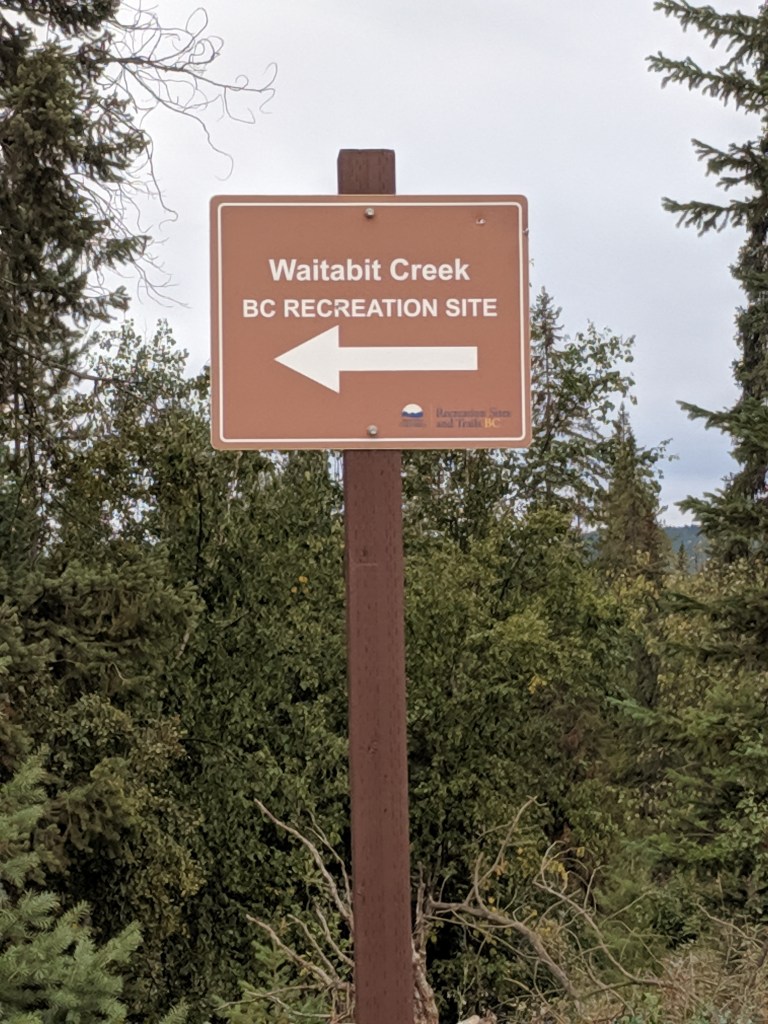
Turnoff from road to river and set of sites 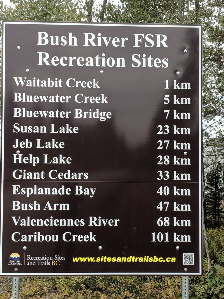
Once you enter the area you’ll see this sign and list of named camping area along the river
Our campsite GPS coordinates: (51.3005, -117.110209) and it was was approximately 2.4 km / 4 minute drive from the highway.
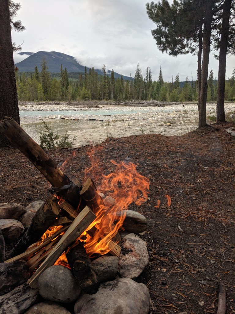
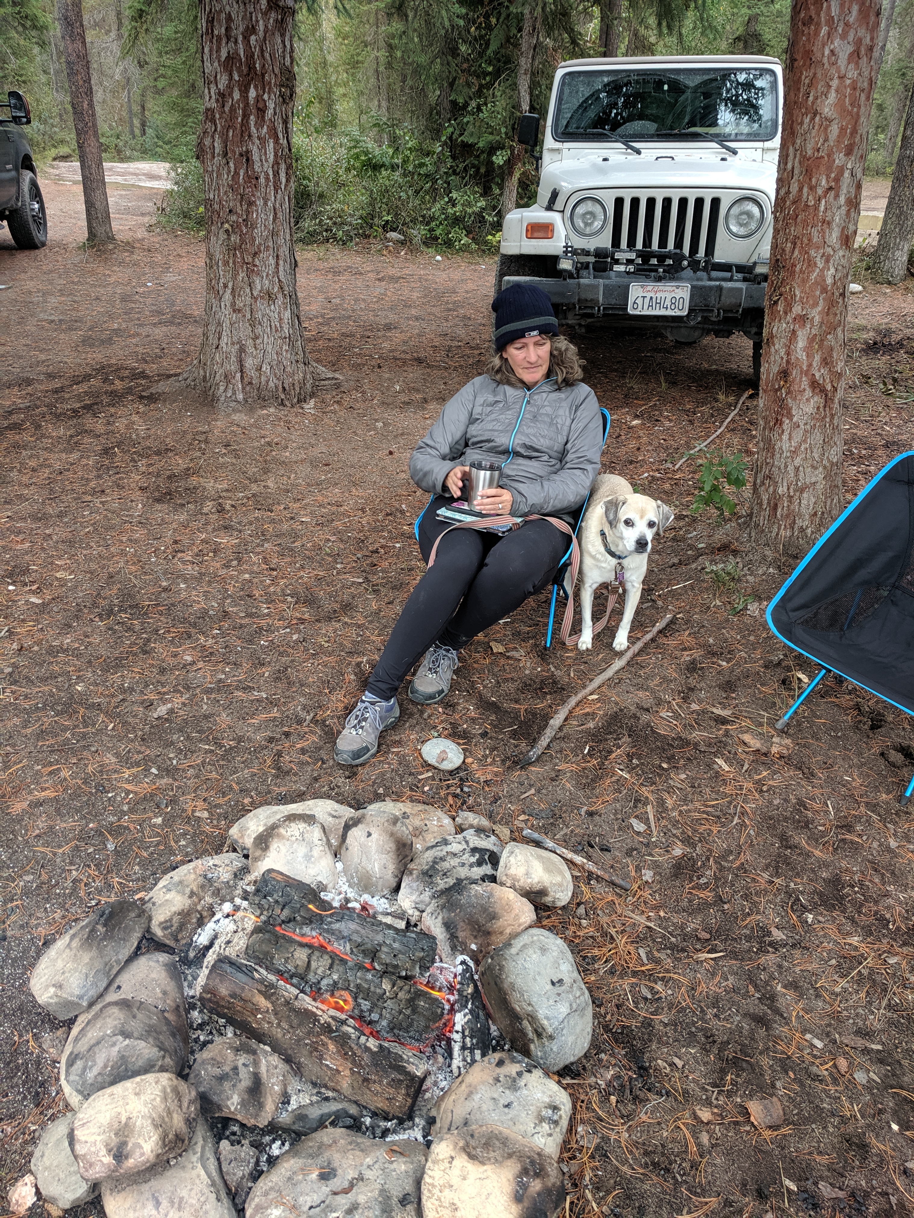
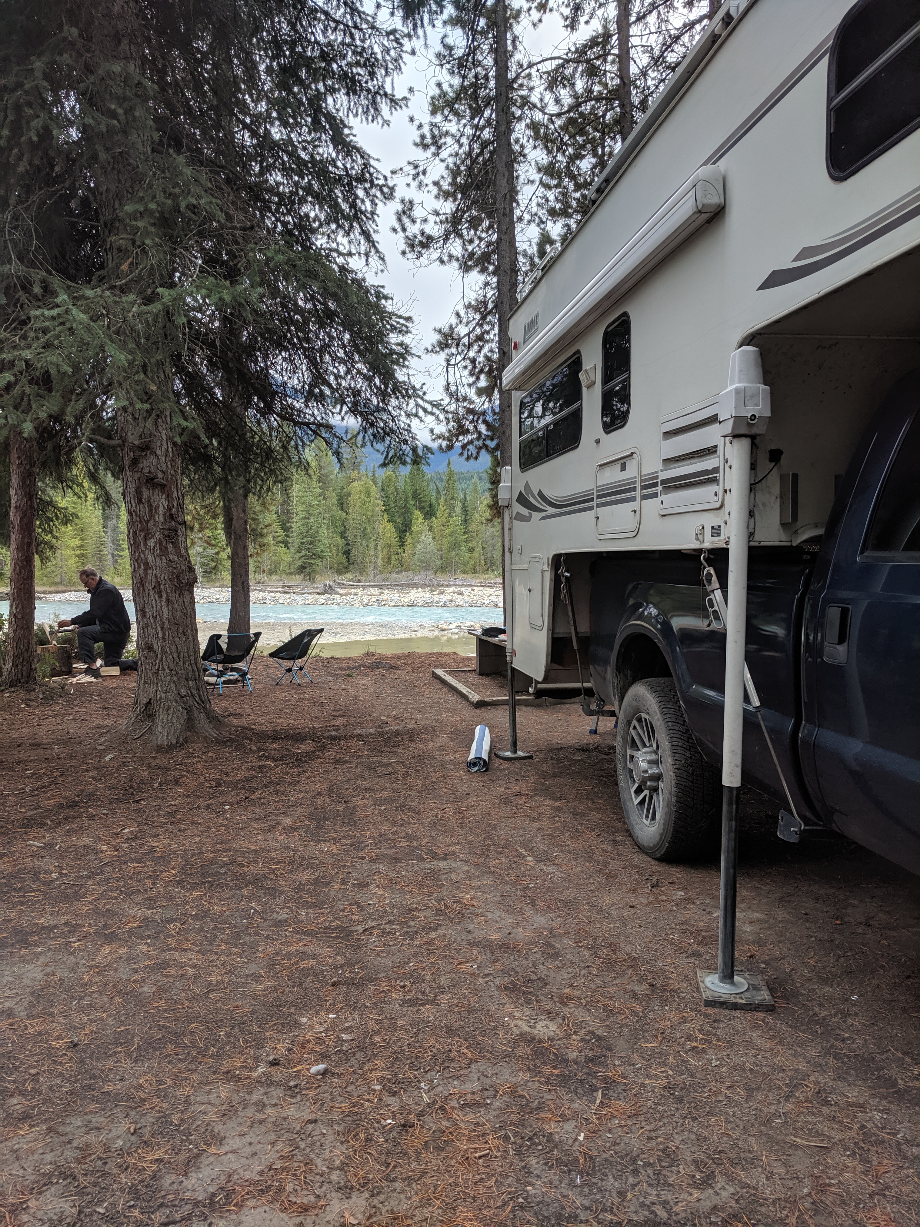
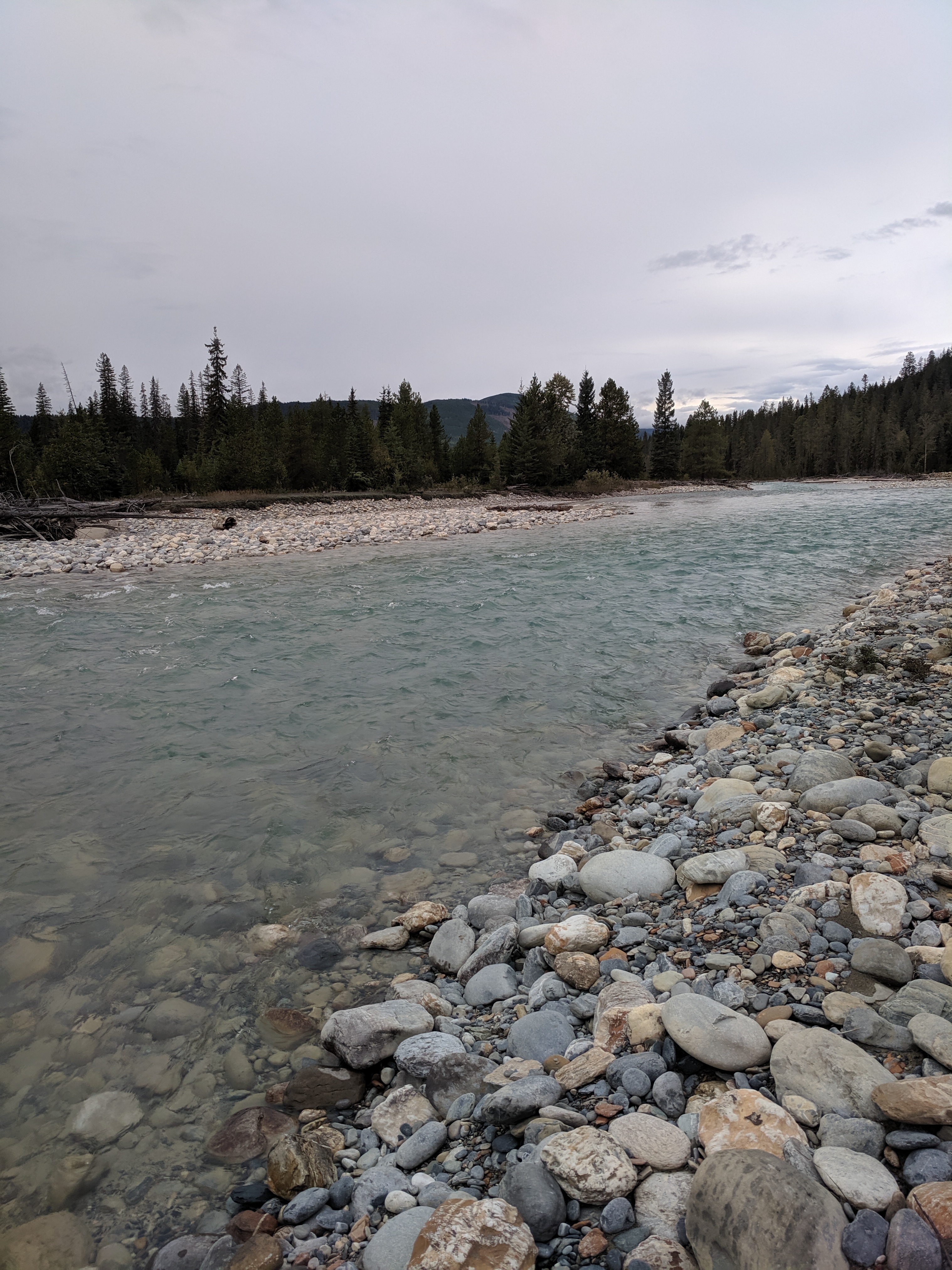
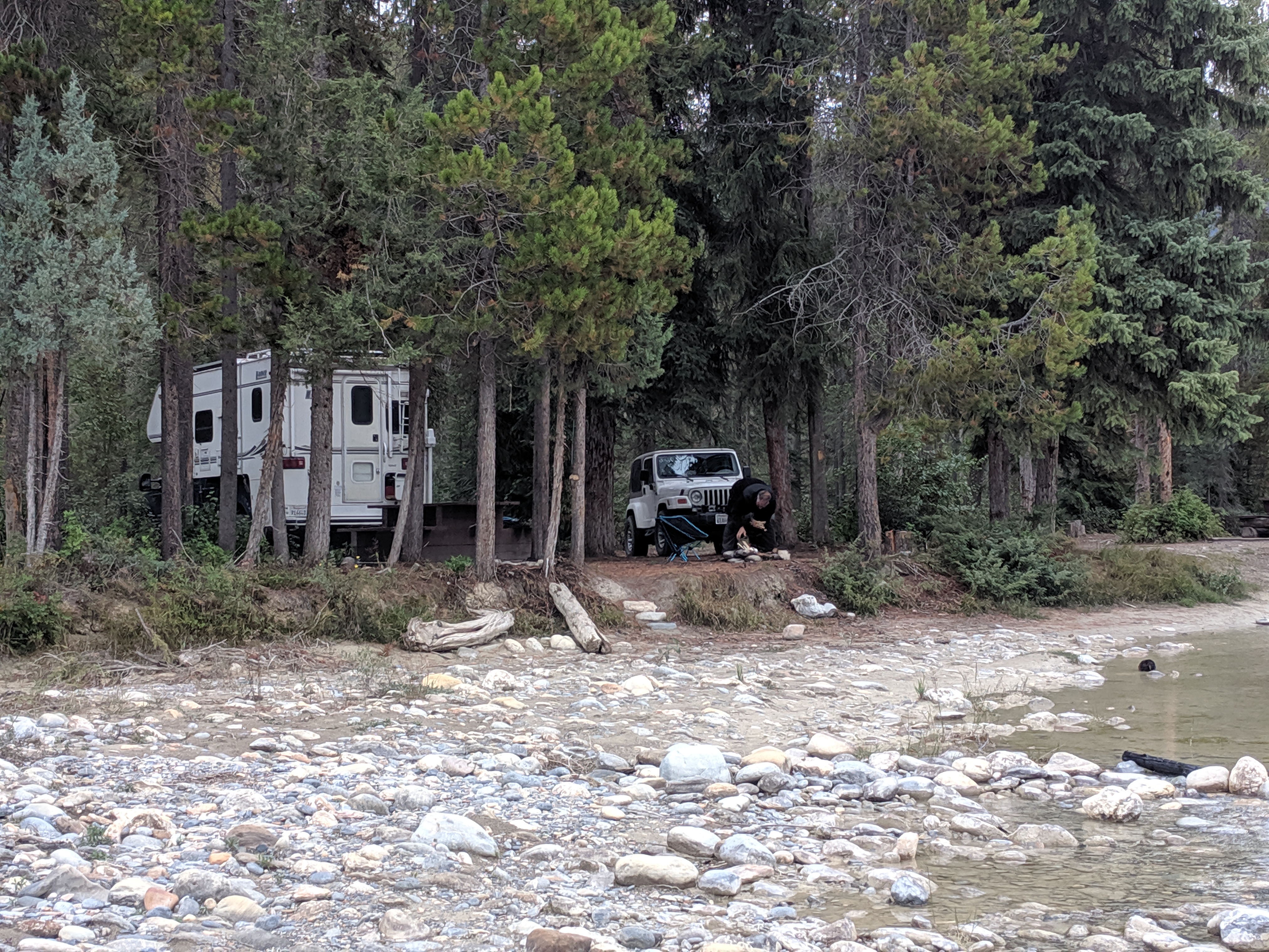
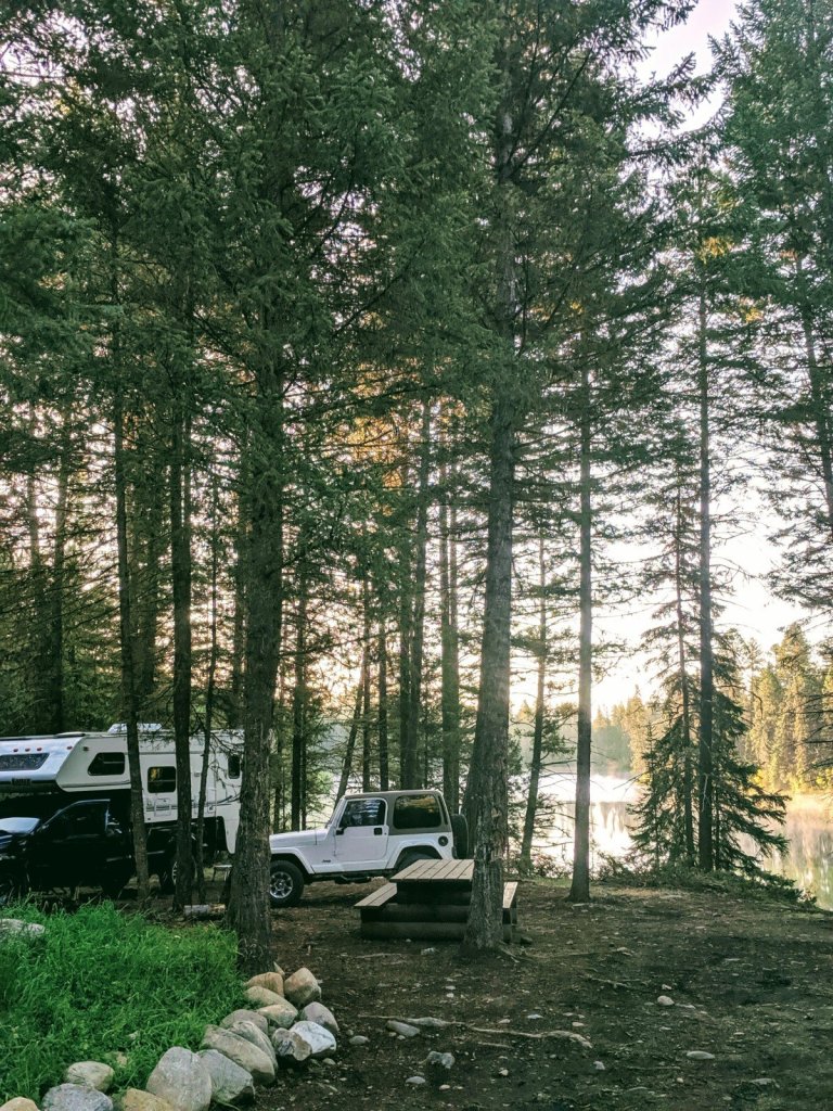
Beautiful tree shaded river sites along a blue green river. We enjoyed a nice evening fire with the sound of rushing water in the background.
There are many fire pits around. We pulled in about 4 PM and found 2 sites occupied with the end group setup as obvious campsite squatters. However, there was plenty of areas to setup before we hit their homestead. We thought we had the place to ourselves, until daylight started dwindling. The place filled up with car campers, an RV, a truck and trailer…I’m sure in the summer it is a very busy place with people staying more than one night. Definitely will keep this area in mind for future return trips.
Camping near Radium Hot Springs
There are a handful of small lakes all with campsites via Foresters Landing Road and north west of Radium Hot Springs, BC. The area is part of a Wilderness Recreation area. We just headed for the first one Dogleg Lake. (Note: google maps calls this Dogsleg, not Dogleg lake as noted on our visitor center map). I’d call it a pond more than a lake. Along the way there are side logging roads and spots you could legally pull into if a 30 minute drive isn’t viable. The last portion of road contained large water filled potholes making for slow going but the main road was an easy gravel, well maintained road. No service once we got off HWY 95/93.
Visit the previous post here for GPS info and more details: https://workingonexploring.wordpress.com/2019/09/06/idaho-to-banff-journey/
It was a good learning experience to find and identify free camping in the British Columbia area. Now I have a few more tools in the toolbox so to speak for us to go deeper and make future trips even more interesting.
