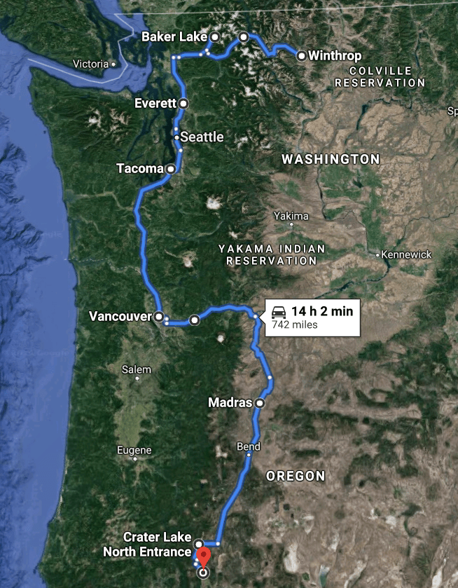
With a loosely planned itinerary and no desire to rush home, we continue the trek southward towards Southern California thru Washington. At the end of our Northern Cascades HWY drive and camping near Mt. Baker, we were getting water logged and looking forward improved weather.

Best backyard
Washington provided me with a most memorable view overlooking the Gorge Lake from our campsite. I loved that we settled in earlier in the day and had time to enjoy this site!

Visiting Mt. Rainier
As we head south, we ventured east to drive through Mt. Rainier National Park. There are four visitor centers and Sunrise was chosen due to it’s notable mountain view.

Washington Icon
View from sunrise point before you get to the visitor center.
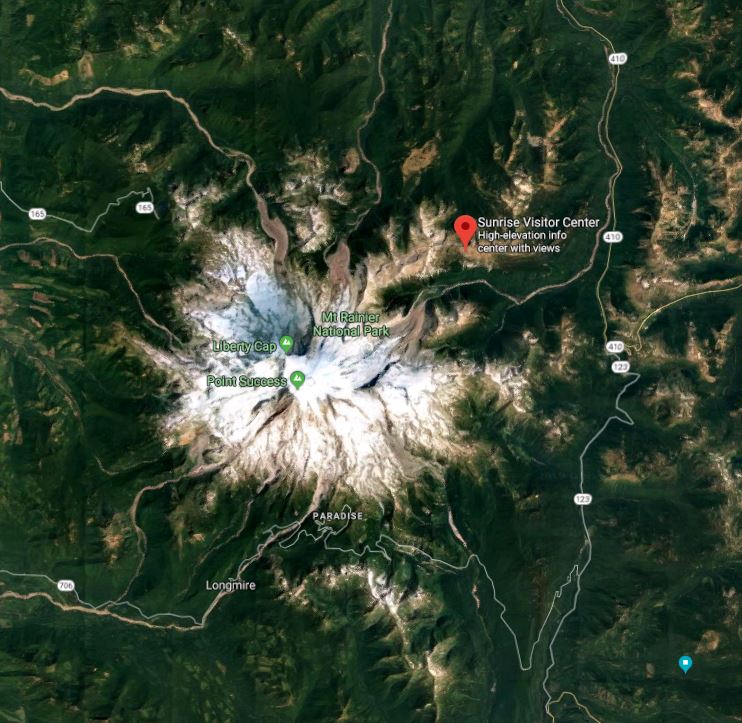
Unbeknownst to us, this was the final weekend for the Sunrise visitor center to be open and although traffic was busy it didn’t feel crowded until we arrived to a overflowing parking lot. No where to go except turn around; we headed down about 1/2 mile and parked along the shoulder. We took advantage of our personal mountain view from the roadside spot to accompany our lunch; followed lunch up with a heart pumping walk up to the visitor center.

Camping near Mt. Rainier NP
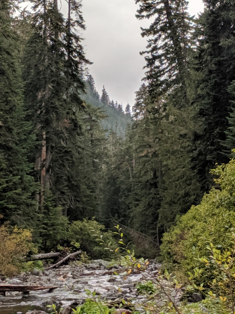
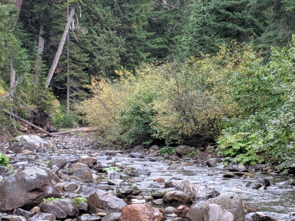
There are 3 campgrounds within the park and numerous forest roads in Gifford Pinchot National Forest to locate a public lands spot. I located Soda Spring camp ground off NF-4510 via HWY 12. This is a small old campground with 5-6 sites plus a couple side tracks on the way in that’ll plop you creekside. There’s a old pit toilet that is still available for use and was stocked. Soda Springs trail head is at the camp ground.


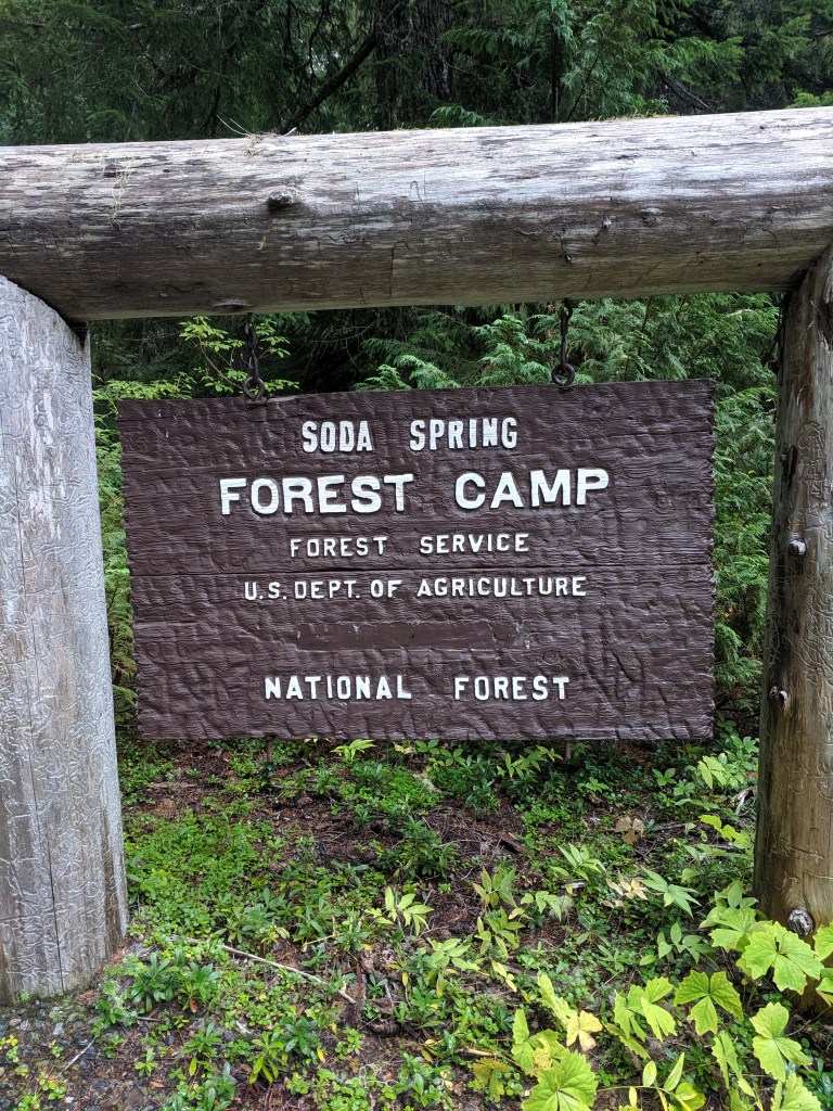
From the Sunrise visitor center it was more than an hour and a half drive. From HWY 12, the forest road was well maintained gravel and approximately 5 miles. Google maps identified the forest roads correctly, making it easy to navigate. There were signs calling out Soda Springs campground; however, those direct you a little further up to a stock camp. The GPS coordinates are: 46.703476, -121.481272. No cell service until you’re back on HWY 12.


The following morning we’re still in drizzly mode and set out towards Mount St. Helen’s for the day.
Mt. St. Helen’s

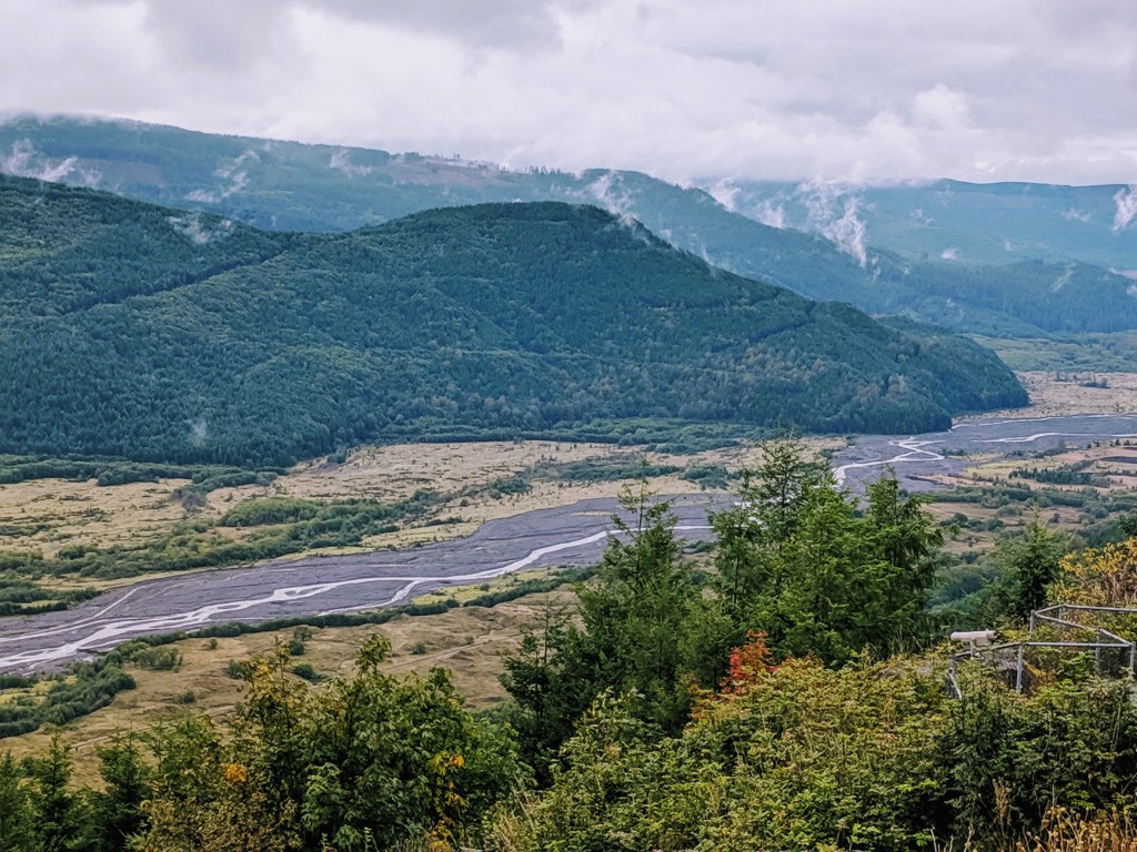
There are two visitor centers and a couple overlooks along state route 504. We set our sights on getting up to Johnston Observatory within the Mt St. Helen’s National Monument. Inside the Monument the land was left to respond naturally. In contrast as you drive along 504, you also see how the replanted forest areas have grown and matured. Along the way are a couple of valley and crater viewpoints. This picture is from the Educational Center stop showing how the valley below has successfully recovered (with intervention).

The weather made for a lackluster day and no visible crater. The view from Loowit is the base of the mountain and with the low clouds that’s all we could see. We drove the last mile up to the observatory and it was thick pea soup.
Views along State Route 504 included the largest bridge built on the 504 and the elk valley.

Hoffstadt Bridge
2340’L x 370′ H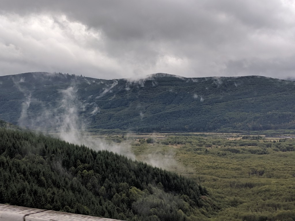
Elk Valley 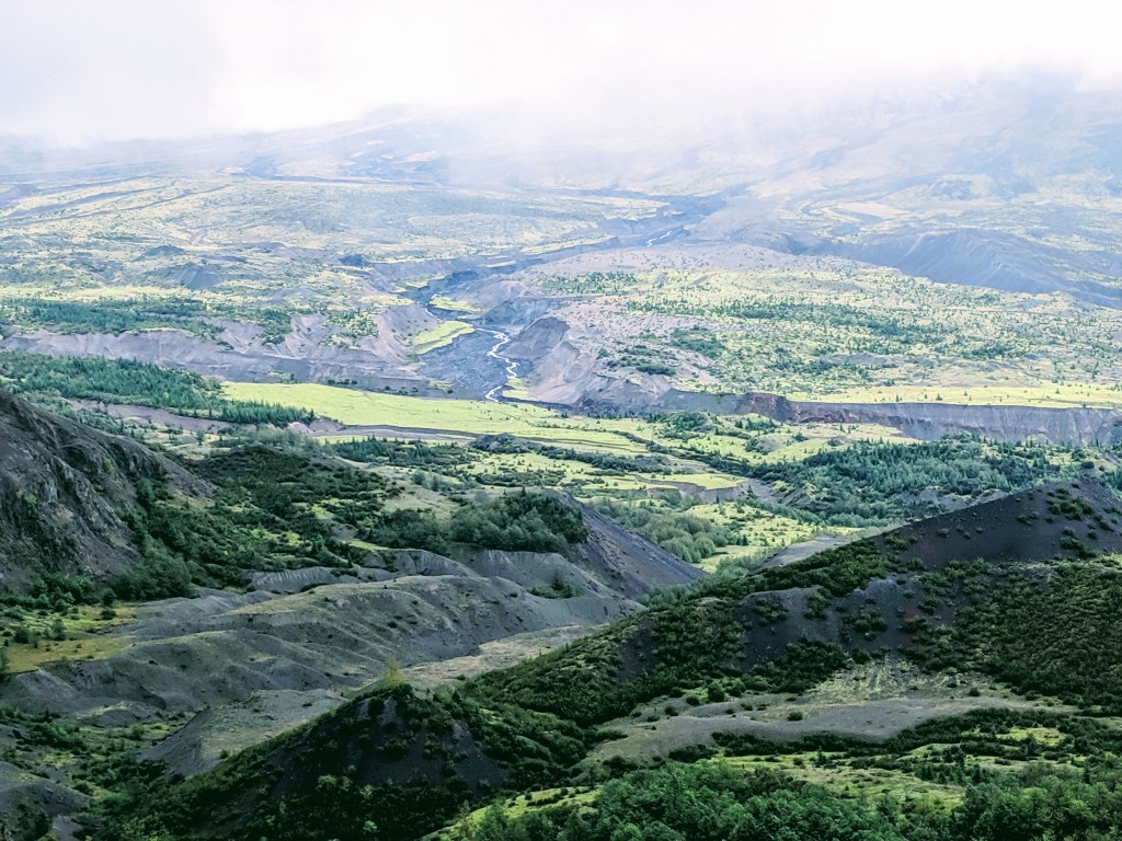
Loowit Viewpoint
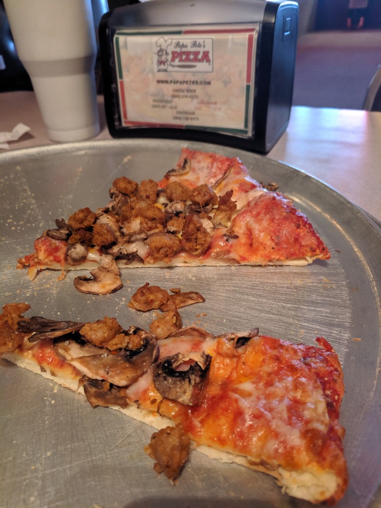
Lunch?
We cook 99% of the time, the other 1% we’ll devour a good pizza anytime. Papa Pete’s was a worthy indulgence. Right off I-5 and the SR504.

Where to next?
We continue heading south with a few diversions along the way through Oregon!