
During our trek home, our Oregon route required 2 overnight camping spots. One was disappointing and the other was awesome!

Deschutes River (BLM)
In Oregon along HWY 97 and north of Bend, there is BLM land available including along the Deschutes River. BLM.gov has a full set of Lower Deschutes river maps available if you’re interested in rafting, fishing, boating through the area.

This area was easy to find and travel to from HWY 97. Once you enter BLM land, there are many tracks along the Lower Bridge Road you can take to setup camp. The area could’ve been one of those gems we find on public lands however it was just sad how poorly people have treated it. Maybe in a pinch I’d return, but I’m sure I’ll look for alternatives if I’m heading through this area again.
Site Summary
- Name: Deschutes River BLM
- GPS: 44.3667, -121.26229
- Easy to locate: Yes. These coordinates take you down the main road Lower Bridge Road (exit is just north of Terrebonne, OR) and you’ll see many side tracks lining this road as soon as you enter BLM land. The GPS coordinates got us to a point where the area is closer to the river and from there we just scouted til we were content enough to park for the evening.
- Public Land: BLM and there’s maps on the BLM website that made it easy to identify where to head
- Cell: signal non-existent
- Crowded: not at all; we did see two other Truck Campers camping along the ridge
- Clean: not at all; this area is trashy, broken camp paraphernalia, temporary living quarters and party leftovers
- Would we stay here again: probably not

Mr. Cooper’s stroll 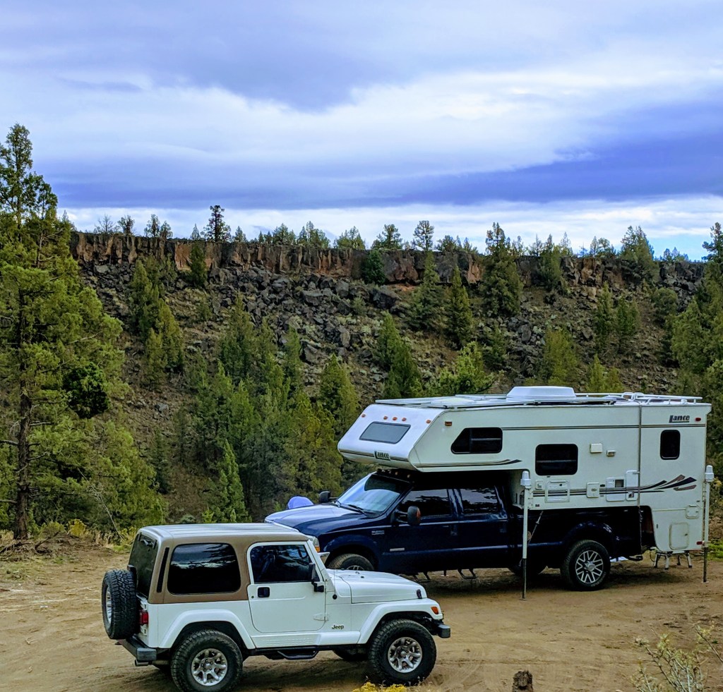
Campsite 
Deschutes River view from top of Camper 
Camp’s colorful dusk

Drive day
Our next day was filled with beautiful Crater Lake National Park landscape. Check out Oregon travel post.
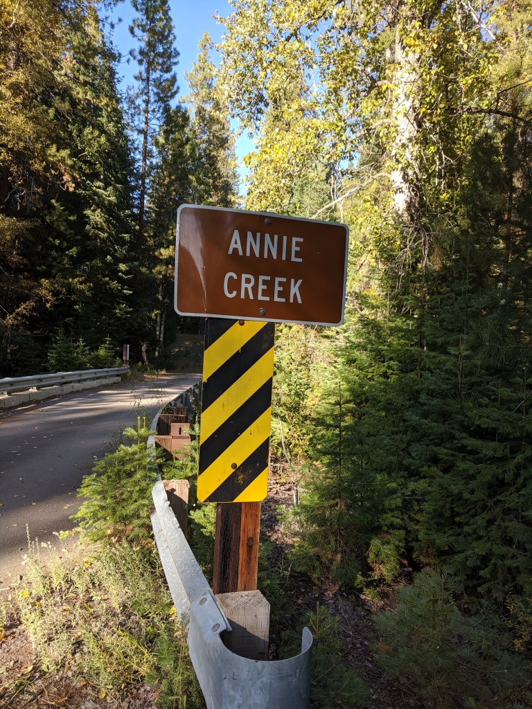
Annie Creek Sno Park (USFS)
After spending the afternoon in Crater Lake, we headed to our campsite destination. This was close to Crater Lake National park in the Fremont-Winema National Forest (Klamath District) and was definitely a free campsite gem. I’ve never explored how to use a sno park and it was time to see how well it’d work for us. The plus is that Annie Creek offered more than just the paved parking area. There were 2 vaulted toilets, a warming shelter with wood stove and benches open year round. The paved area was plenty big for multiple road trippers looking for a overnight good way point to and from Crater Lake. The surprise was down towards the creek itself; the large snow sledding play area is used for creek side camping. We were very happy to spend our evening and night here.
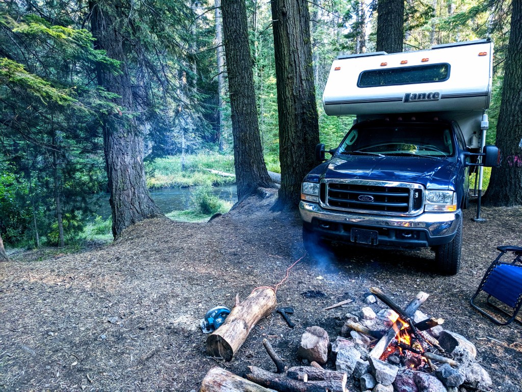
Early evening campfire next to Annie Creek
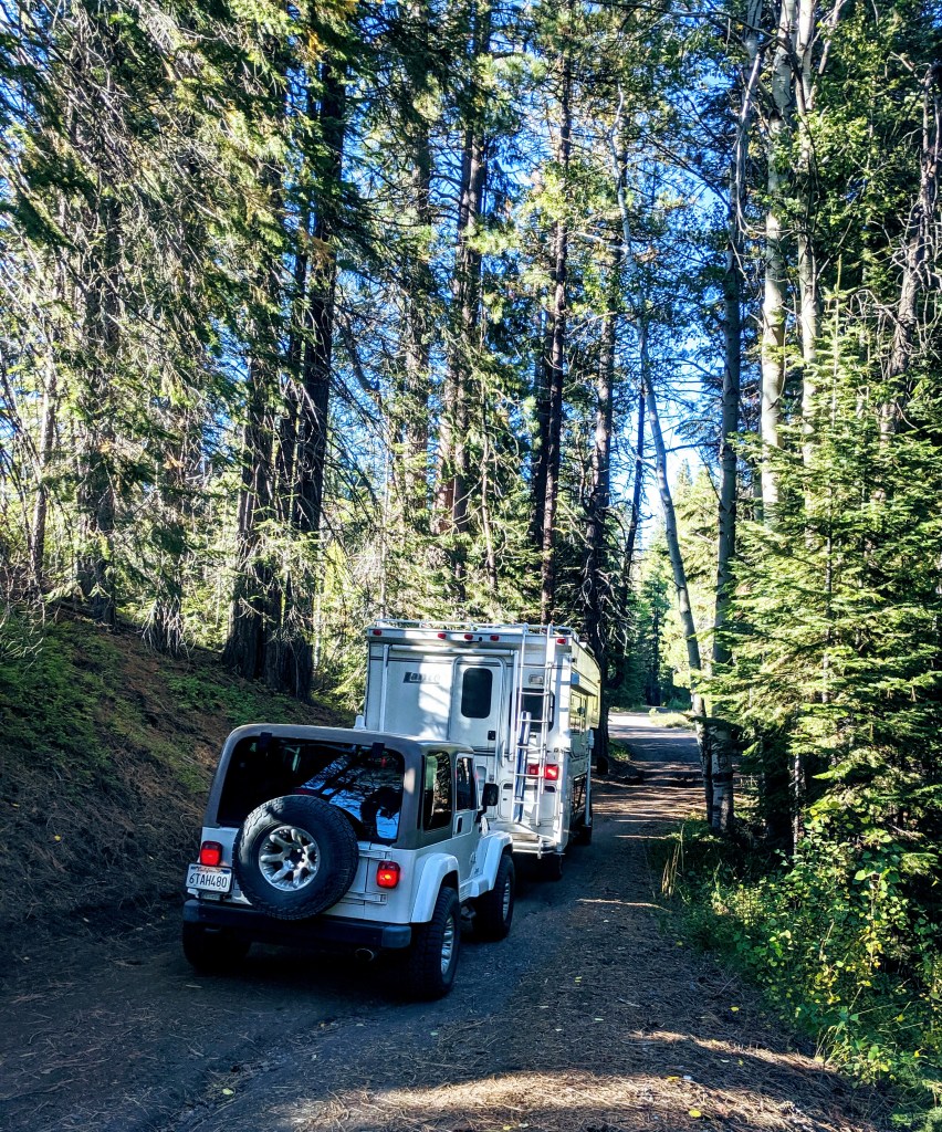
On the right was large open area bordering the creek that could comfortably hold 6-10 campers without feeling too crowded. There was additional space to the left and just before the bridge. Alternatively, since it’s USFS you can simply keep driving over the bridge and camp in the forest.
Site Summary
- Name: Annie Creek Sno-Park
- GPS: 42.76181, -122.0592
- Easy to locate: Yes. These coordinates take you to the sno park paved area. This area is mostly flat and is big enough to setup camp here. We drove down to the creek.
- Public Land: USFS
- Cell: signal non-existent
- Crowded: In late September we had the place to ourselves
- Clean: Mostly. I’d give it an A- for the 2 random broken items we found. A camp chair and an ironing board.
- Would we stay here again: Definitely
- Other notes: USFS web link
Bridge 
Annie Creek 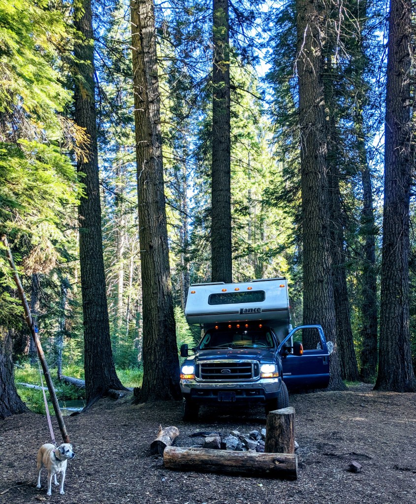
Getting ready to build the fire 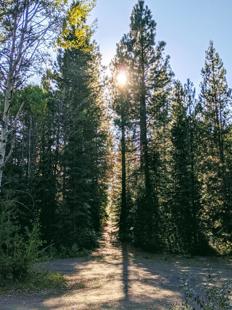
Sun descends into twilight
