

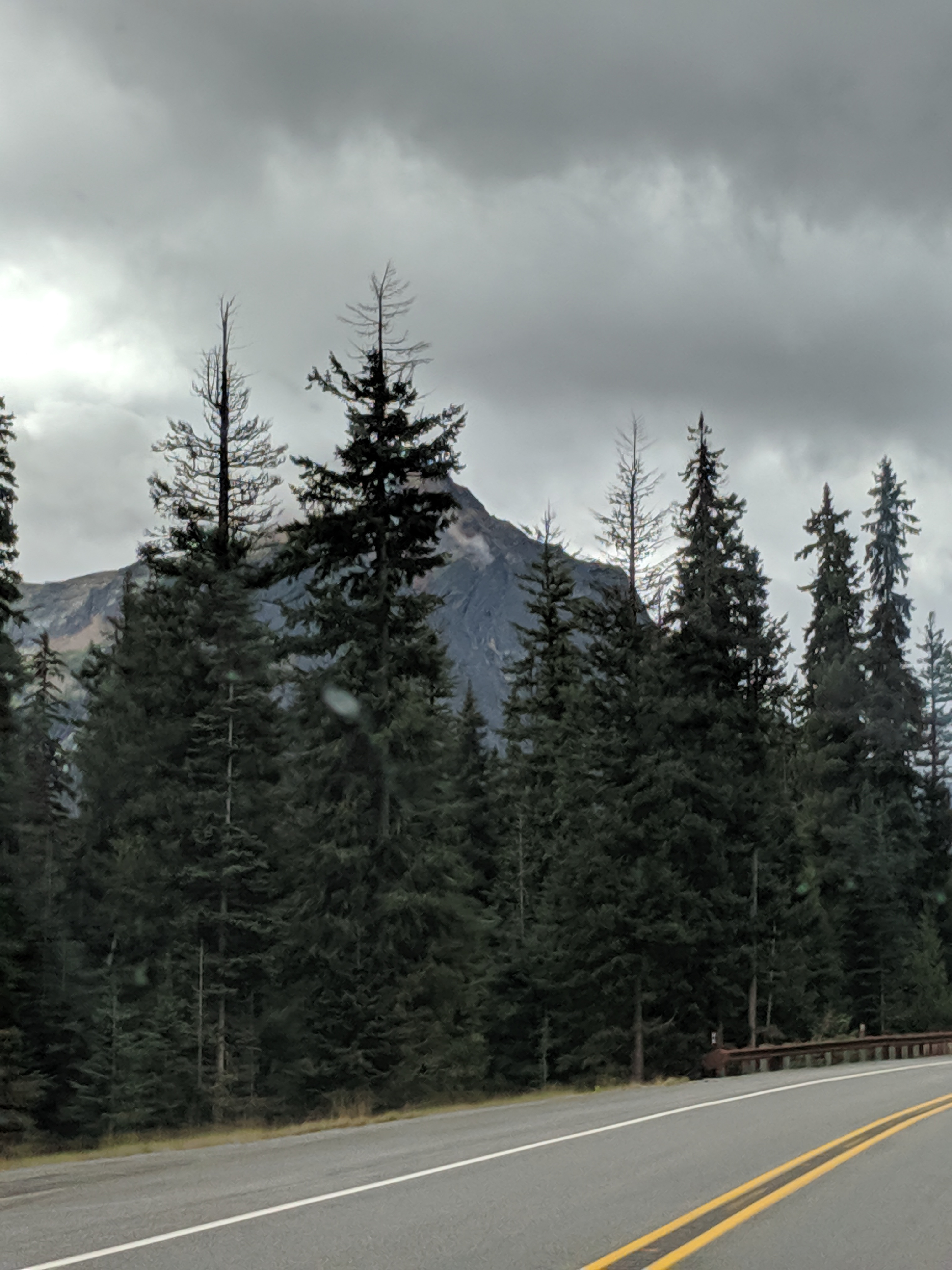
We returned from Canada via HWY 97 (above Oroville, WA) and decided to travel west through the North Cascades National Park and Mount Baker-Snoqualmie National Forest areas. The North Cascades Scenic Highway (WA-20) is the northern most road through the Cascades; it is closed part of the year November through May making this was a good opportunity to check it out.
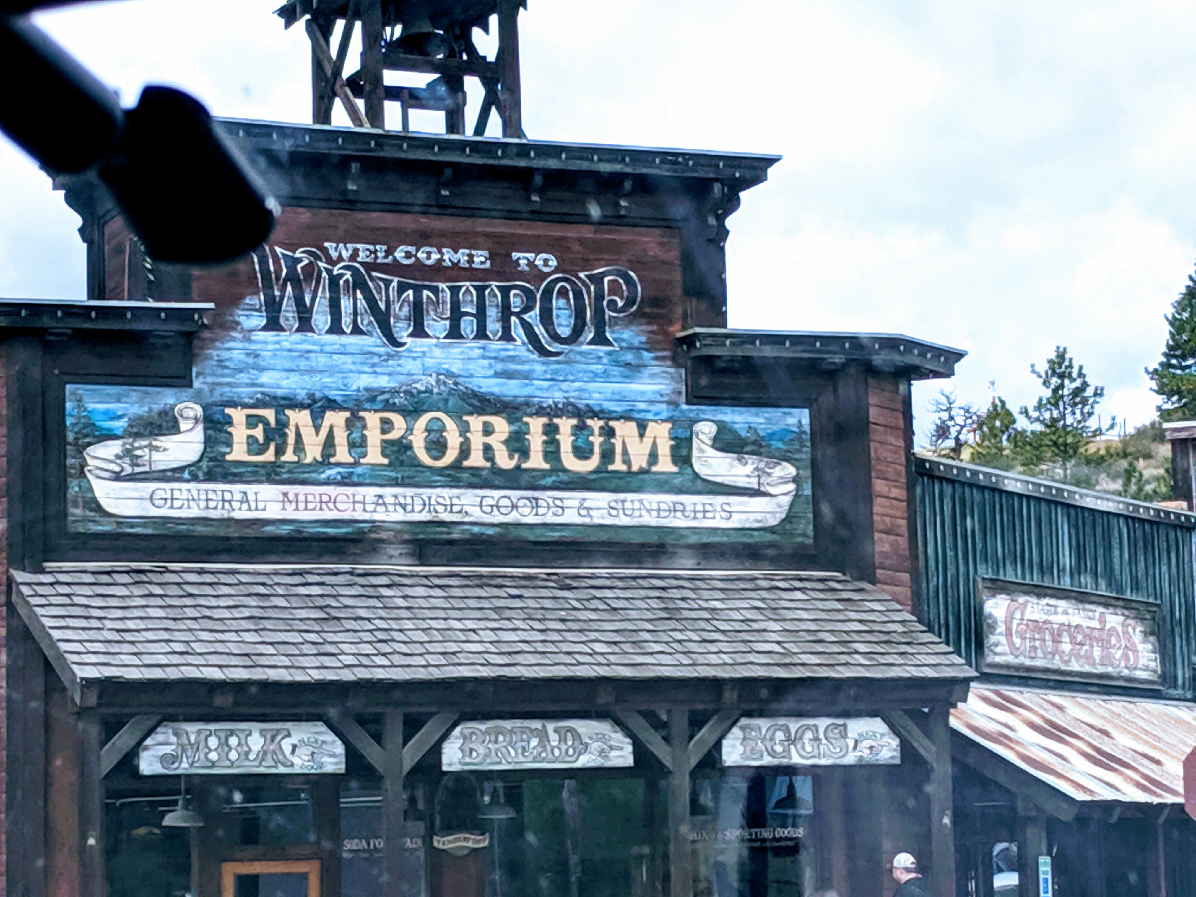
Winthrop is a gateway town on the eastern side is of the Cascades. An old western portal where you could spend a couple of days kicking back and gathering supplies. Unfortunately, we opted to stay ahead of imminent rain clouds and pushed forward rather than checking the town out.
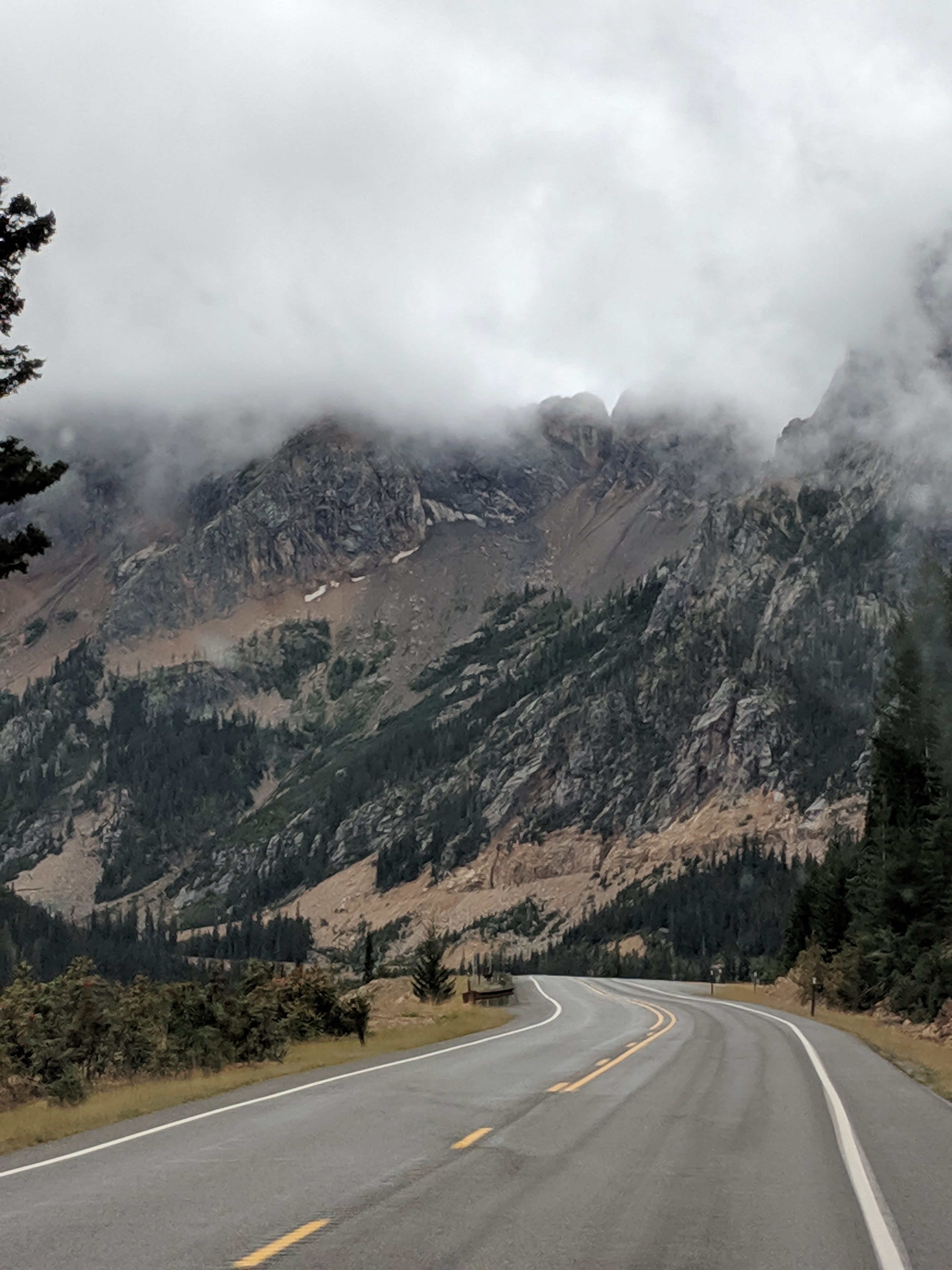
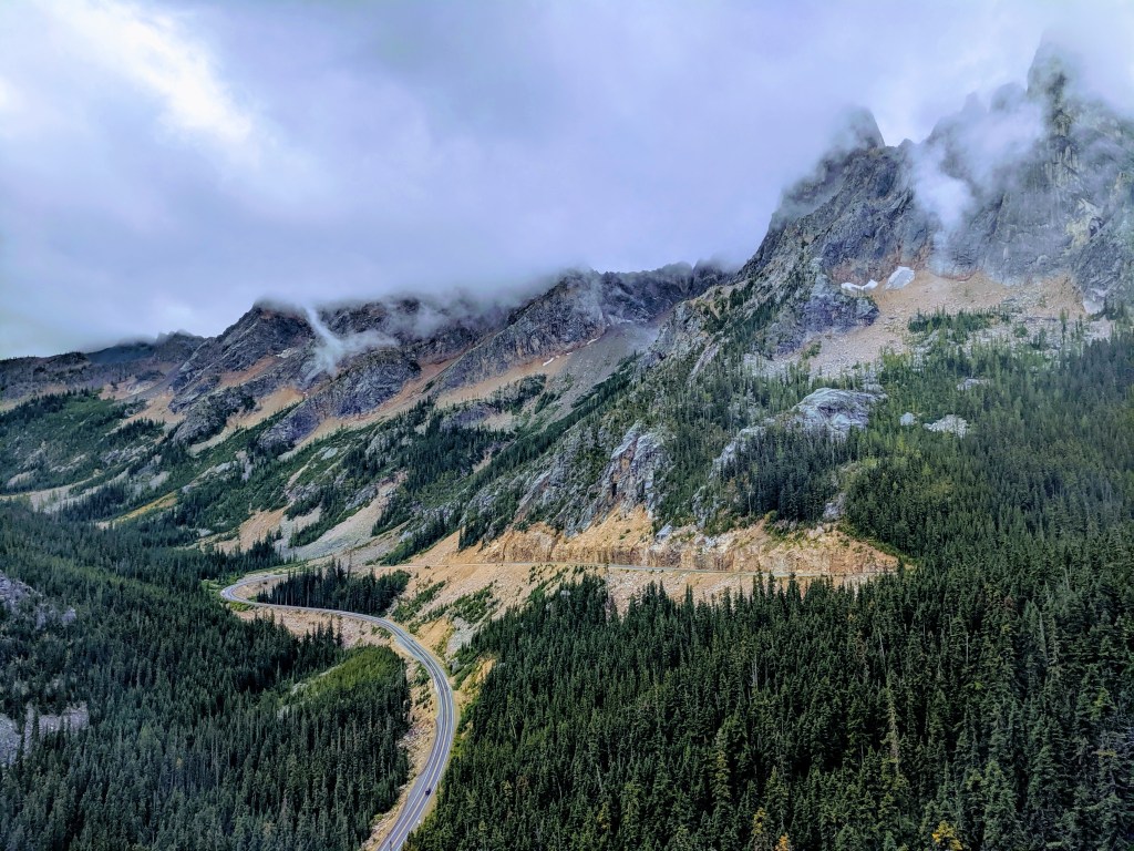
Washington Pass
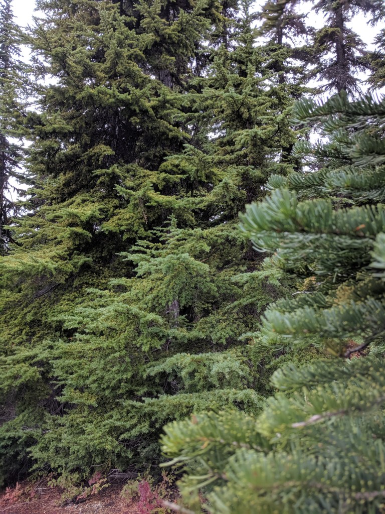
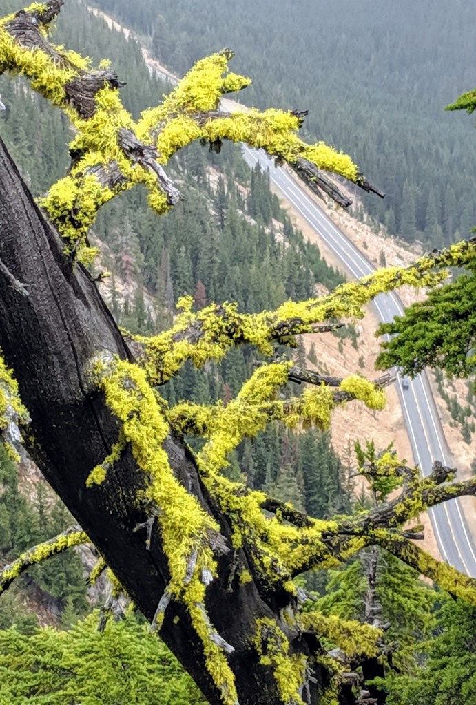
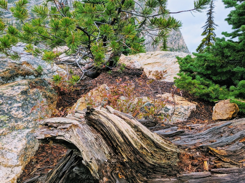
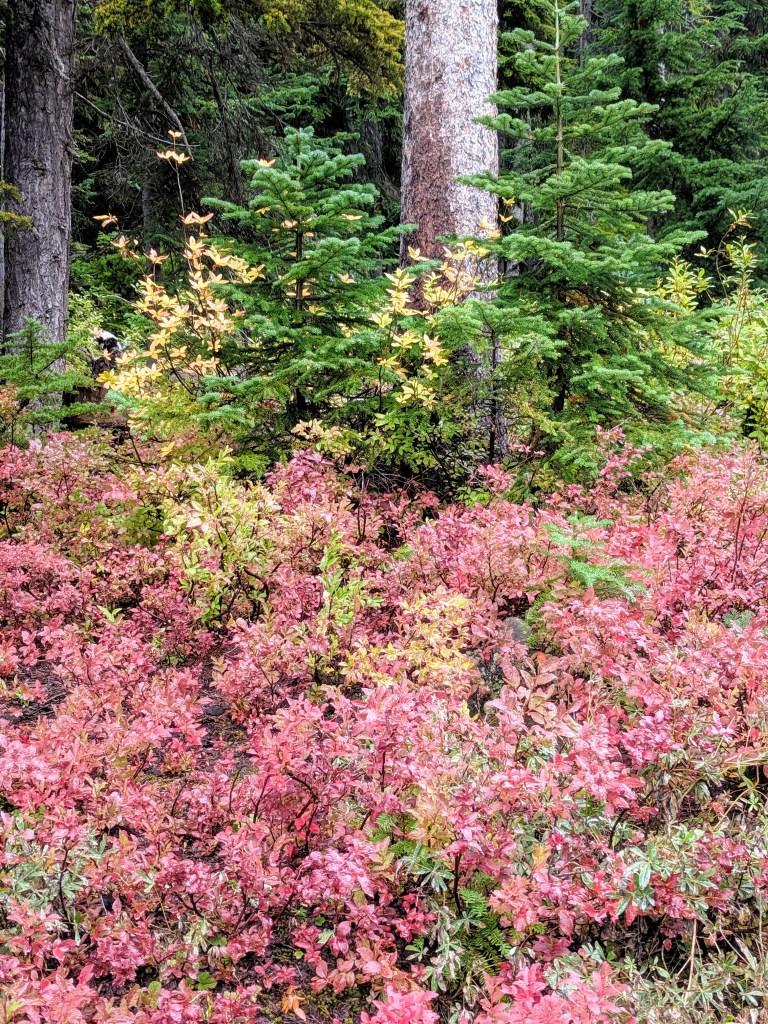
First stopping point is the Washington pass overlook area. Picnic tables and multiple overlooks on a paved path gives you time to stretch those legs! The valley view reveals the road just traveled. From this vantage point, we got a taste of the colorful forest area.
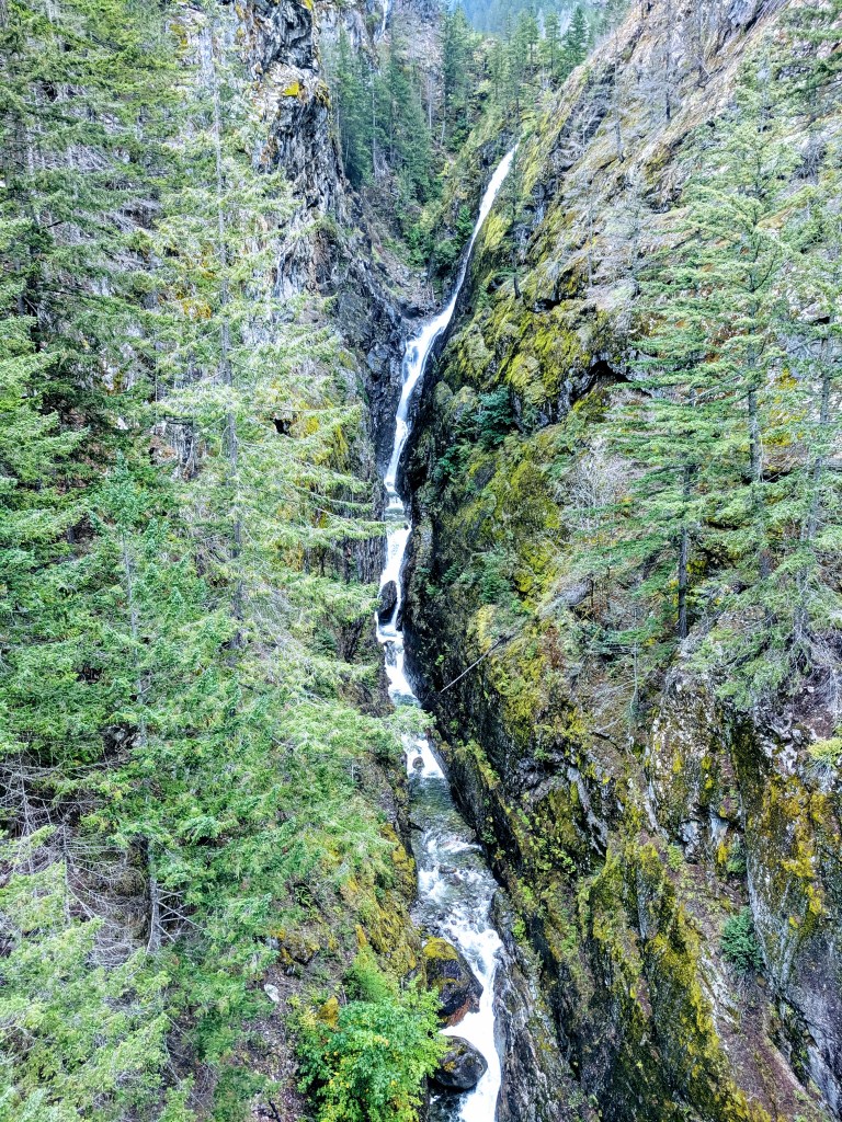
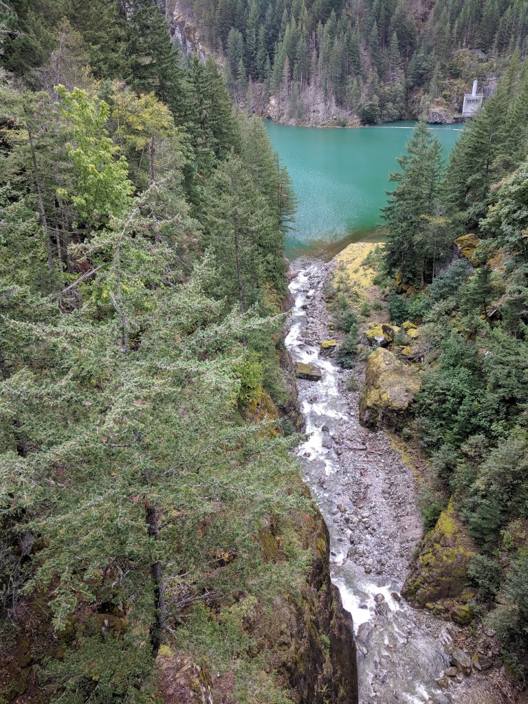
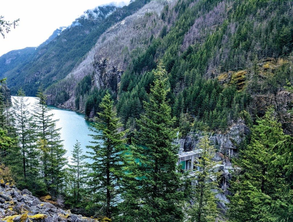
Ross, Diablo and Gorge Lakes
Ross, Diablo and Gorge lakes are along the Skagit River and were created by a series of 3 dams first constructed in 1921. From the HWY you can only catch a small glimpse of Ross Lake’s southern end. The Ross Lake National Recreation Area offers backpacking, hiking and even boat-in campgrounds. It is also a part of the Northern Cascades National Park.
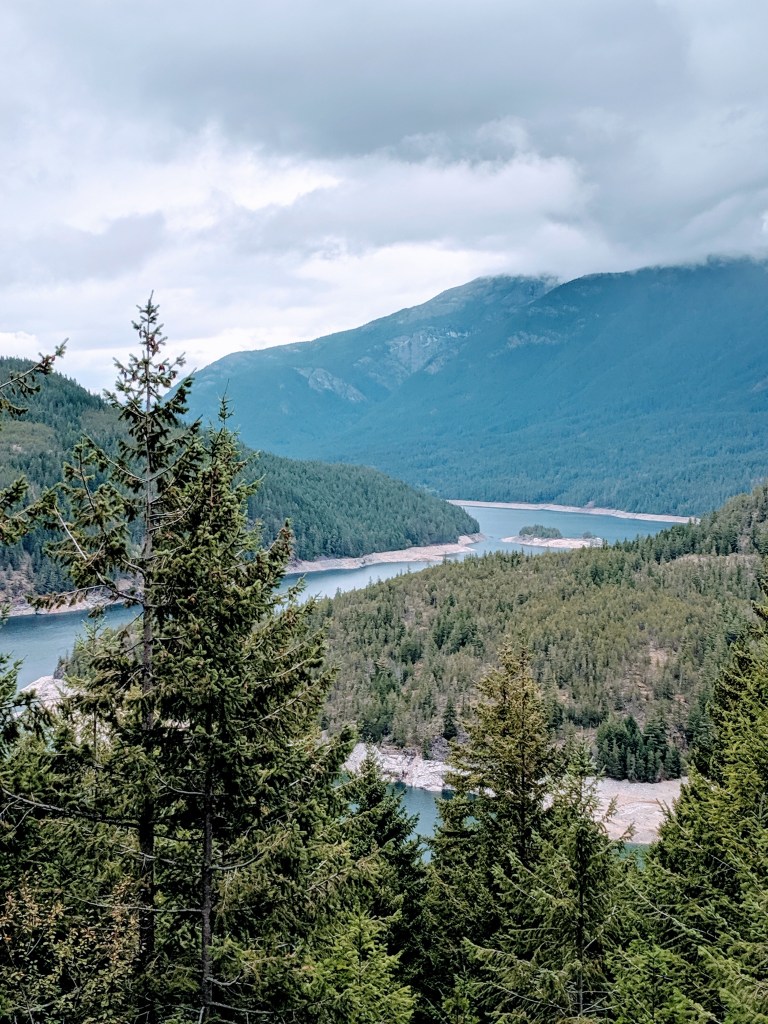
Ross lake from the overlook 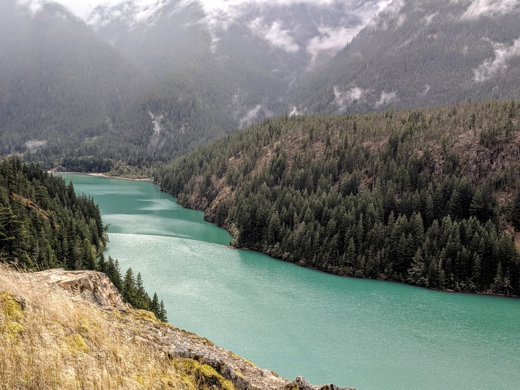
Gorge Lake 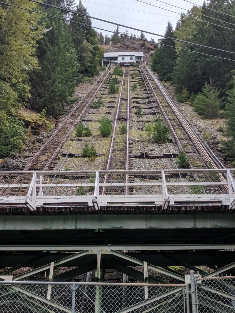
Diablo dam old mountain ferry 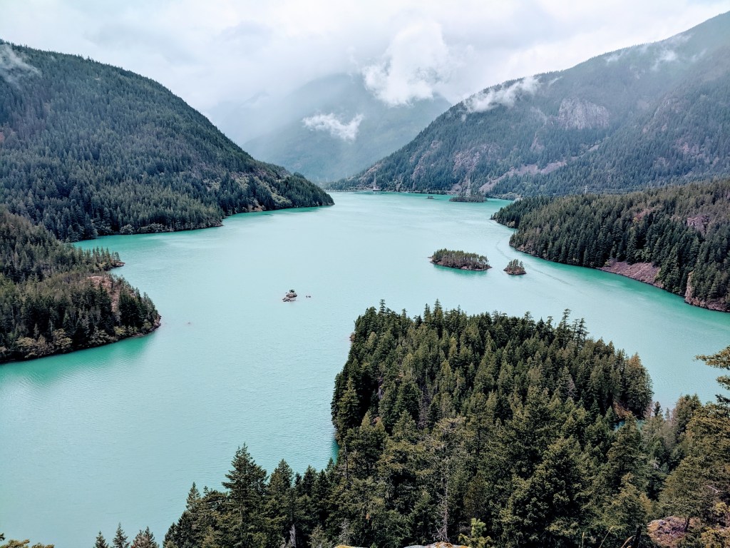
Diablo Lake
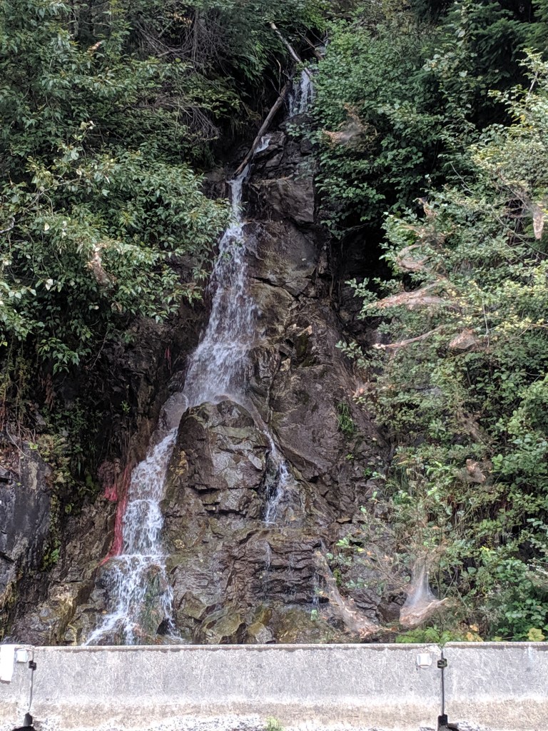
Gorge Dam Falls
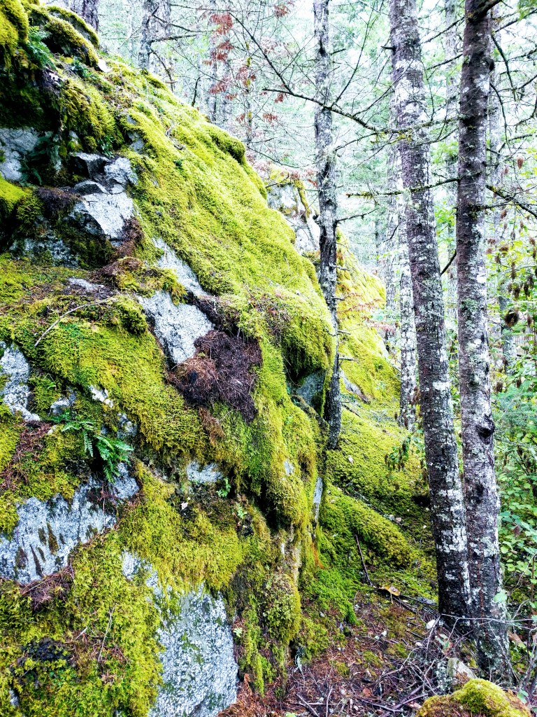
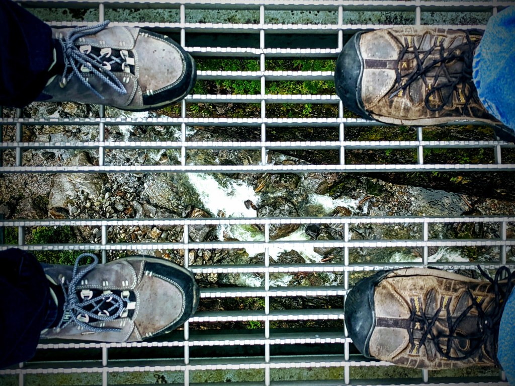
Gorge creek falls at 242 feet high can be viewed directly via two pedestrian walkways on HWY 20. As you stand on the walkway over a 300 foot granite gorge you have a view of the falls and the creek below through the metal grate floor. Gorge overlook walkway was a nice stroll for the afternoon. It’s an easy paved walkway surrounded by mossy rock, trees, creek and lake views that begins from the HWY 20 parking area and takes you to the dam overlook.
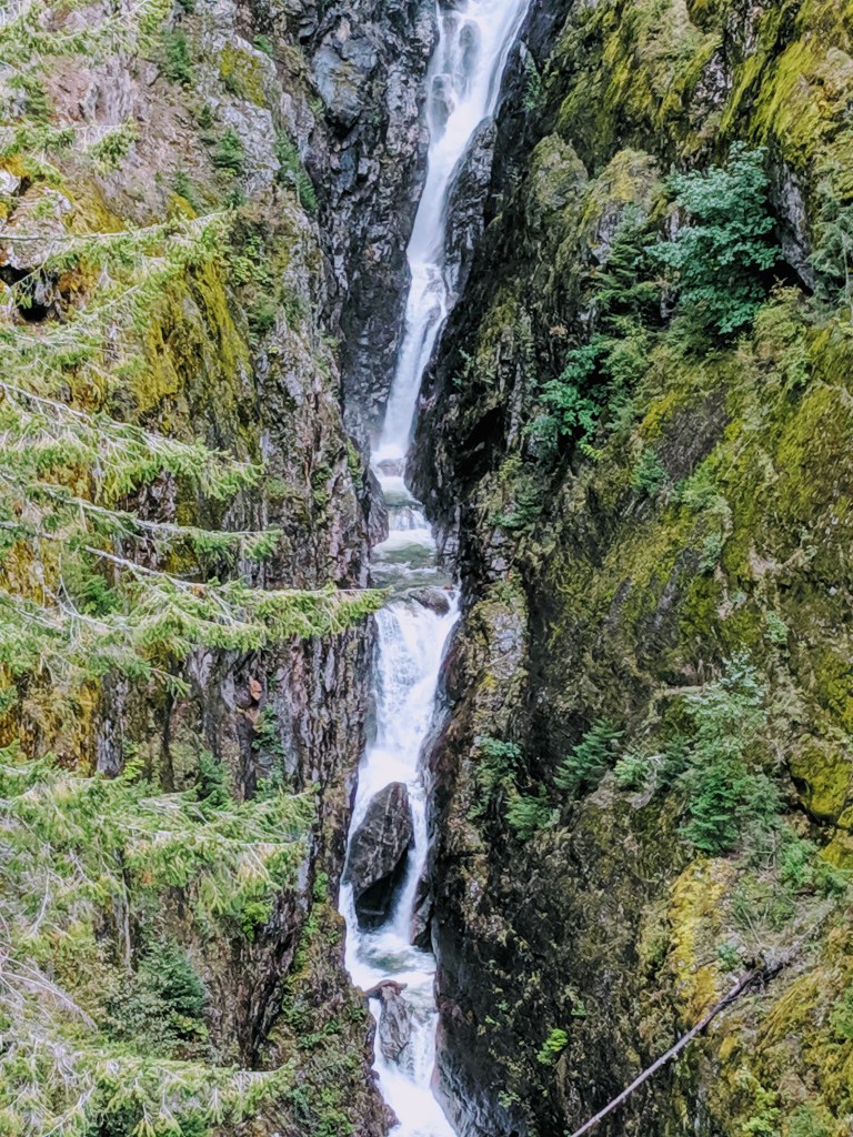
During September the falls were still impressive even though the creek was low and I’m sure its early spring version is a site!
Interesting fact is there are 3 dams making up the Seattle City Light’s Skagit River Hydroelectric Project first constructed in 1921. The project is located between mile markers 94 to 127 and all 3 dams are operated as one hydraulically coordinated system. Using natural resources with care these hydroelectric power projects supply Seattle and surrounding areas a percentage of their power needs.
“…supply approximately 20% of Seattle City Light’s power requirements”
seattle.gov/light/Skagit/
Where to next
Two nice moochdocking spots in Washington await us to catch up with family, friends, and laundry. Then we’ll continue south.

We visited the 3 dams when we live in Seattle, One of the dams had it spillway open to reduce the level of the lake behind the dam. The rushing water through the spillway was an amazing site. Thanks for sharing your travels.
LikeLike
Glad you got up there to see the area while in Seattle. We didn’t get a chance to see the one at Ross Lake. But enjoyed seeing the other two…and I just loved the drive!
LikeLike