
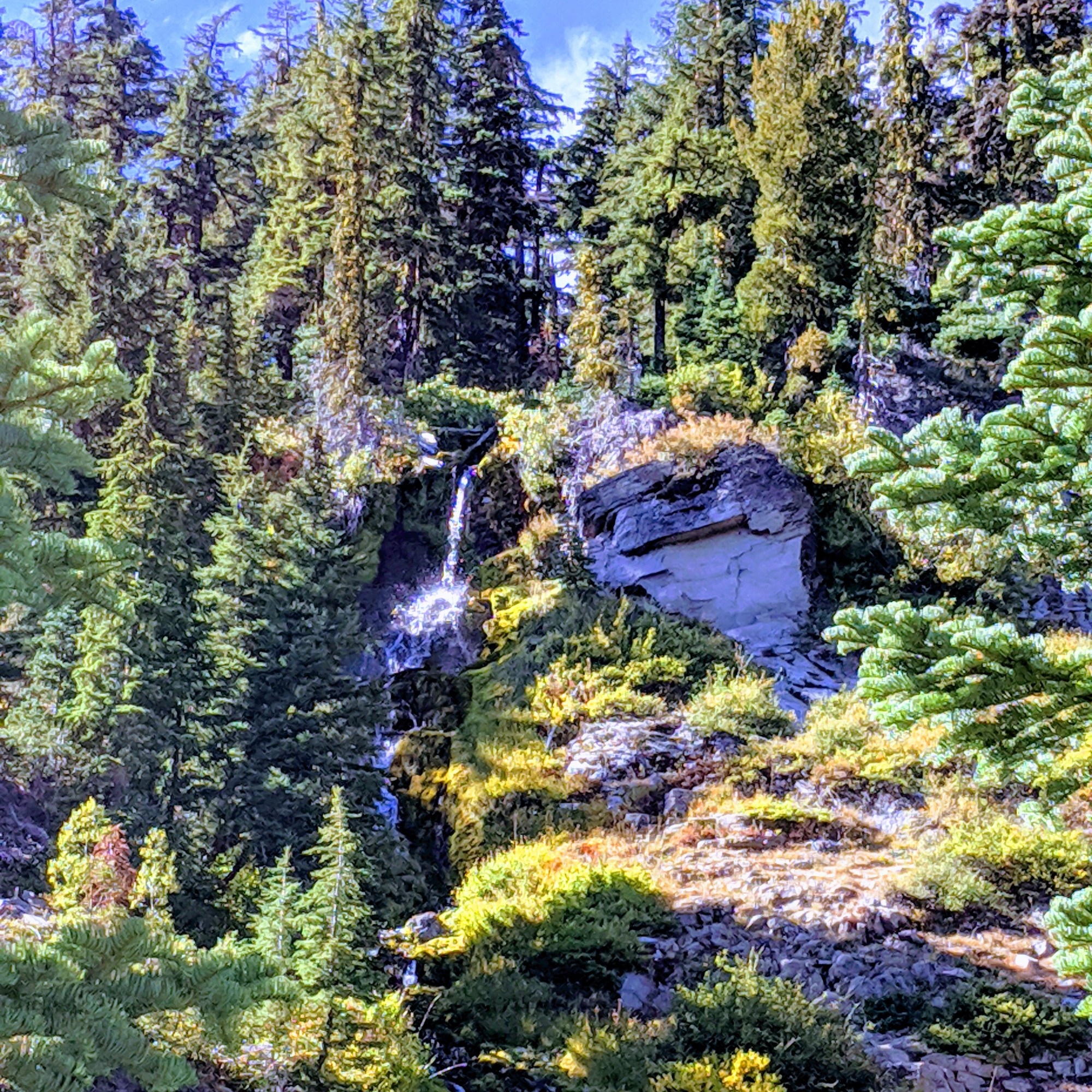
Waterfall Corridor
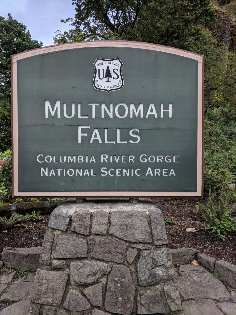
The Coumbia River Gorge National Scenic Area is just that…scenic. Follow the gorge all along HWY 84 is one option with a couple different exits to get out and hike or site see. Or better yet, get on the Historic Columbia River Highway (30) and get closer to the scenary, picnic areas and hikes. The Waterfall Corridor includes 5 waterfalls!
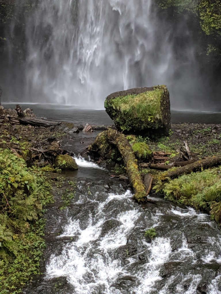
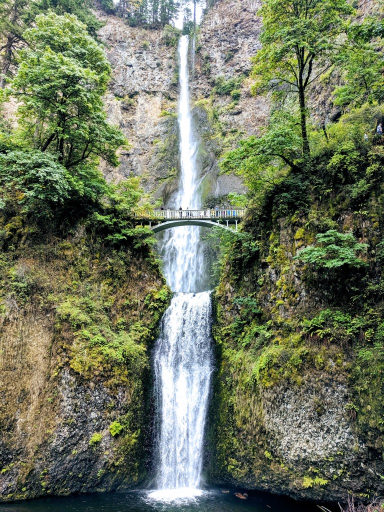
Multnomah Falls is accessible from HWY 84 using exit 31 and has plenty of parking. If driving along 30, the parking area is very small and congested. The falls are 611′ tall cascading into two tiers of pools. The mossy rock was an interesting focal point. We walked up to the Benson Bridge spanning the tier’s and getting a little closer to the massive 542′ tall top tier. You can continue hiking from the bridge up to the top of the falls.
There are many more falls and trails to hike all along the scenic highway and it is just a neat area to come out for a day trip, hike and picnic.
Crater Lake
Why what mightly blue depth you have! A different view of volcanic landscape from Mt. St. Helens is found at Crater Lake. 7700 years ago an eruption blew off the mountain peak and left a basin that has been filled over time. At 1943 feet deep, this blue lake is the deepest lake in the US. The best view was at Watchman Overlook where you get a closer look at Wizard Island.
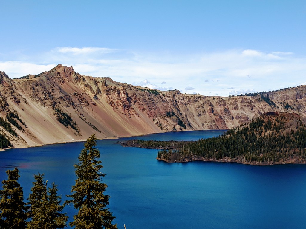
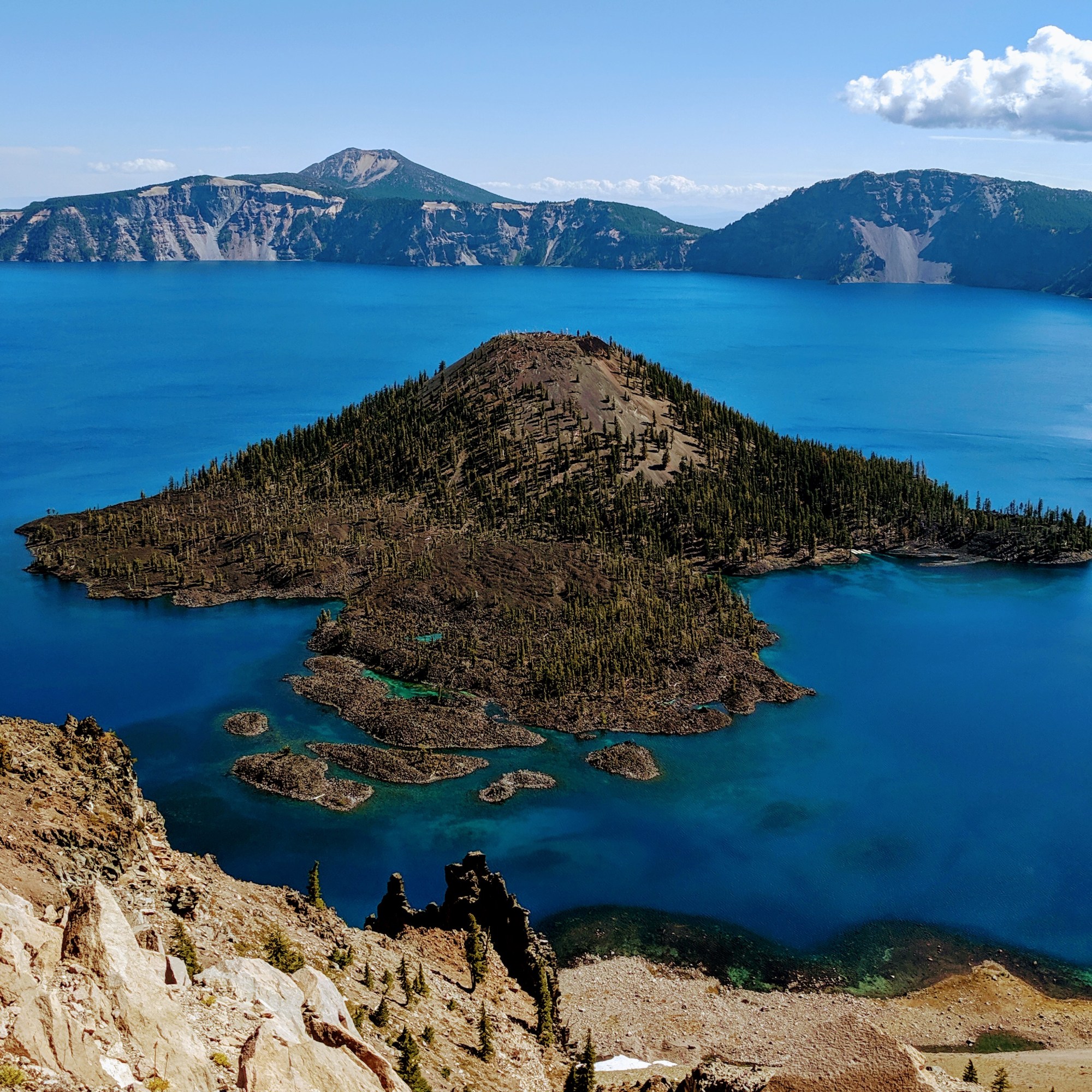
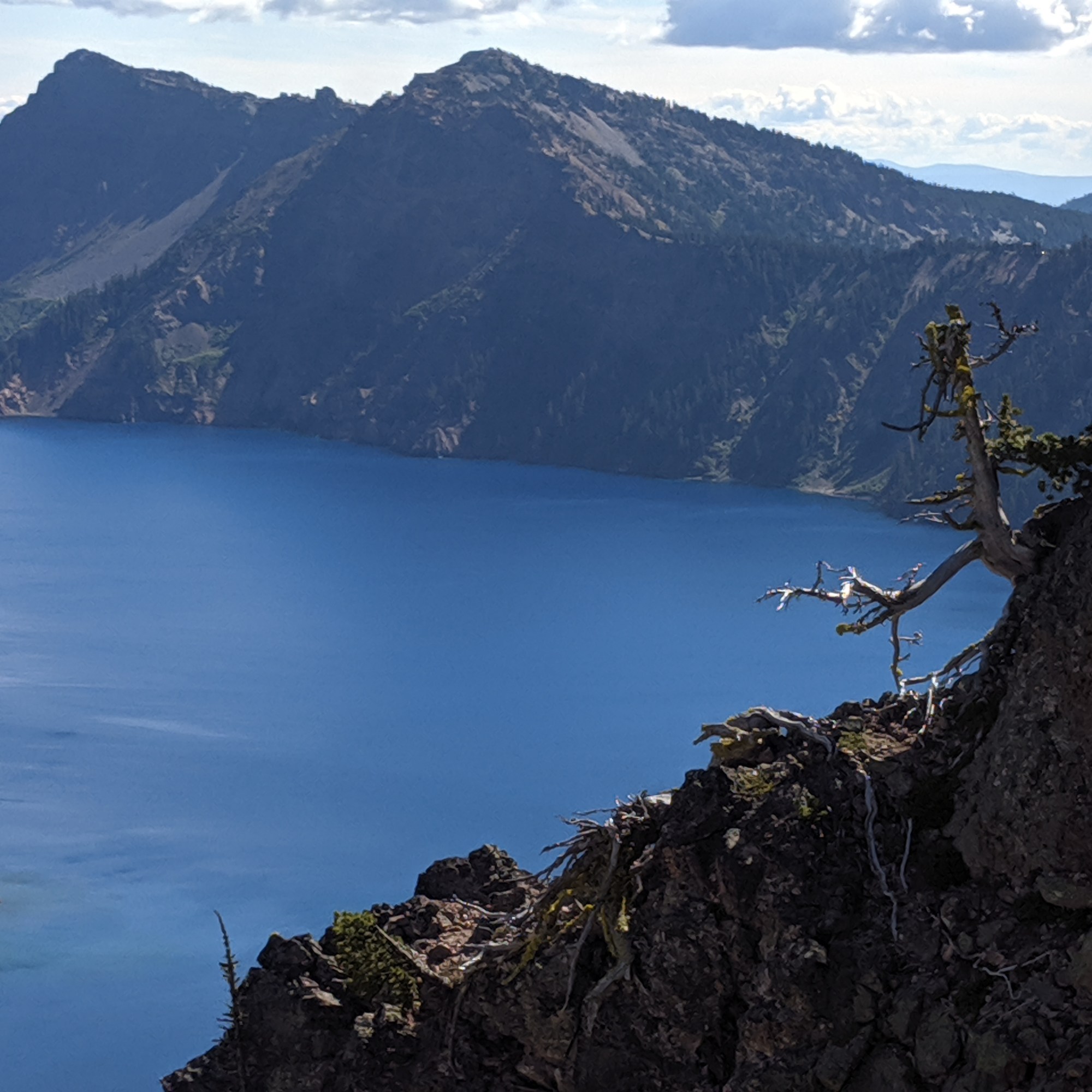
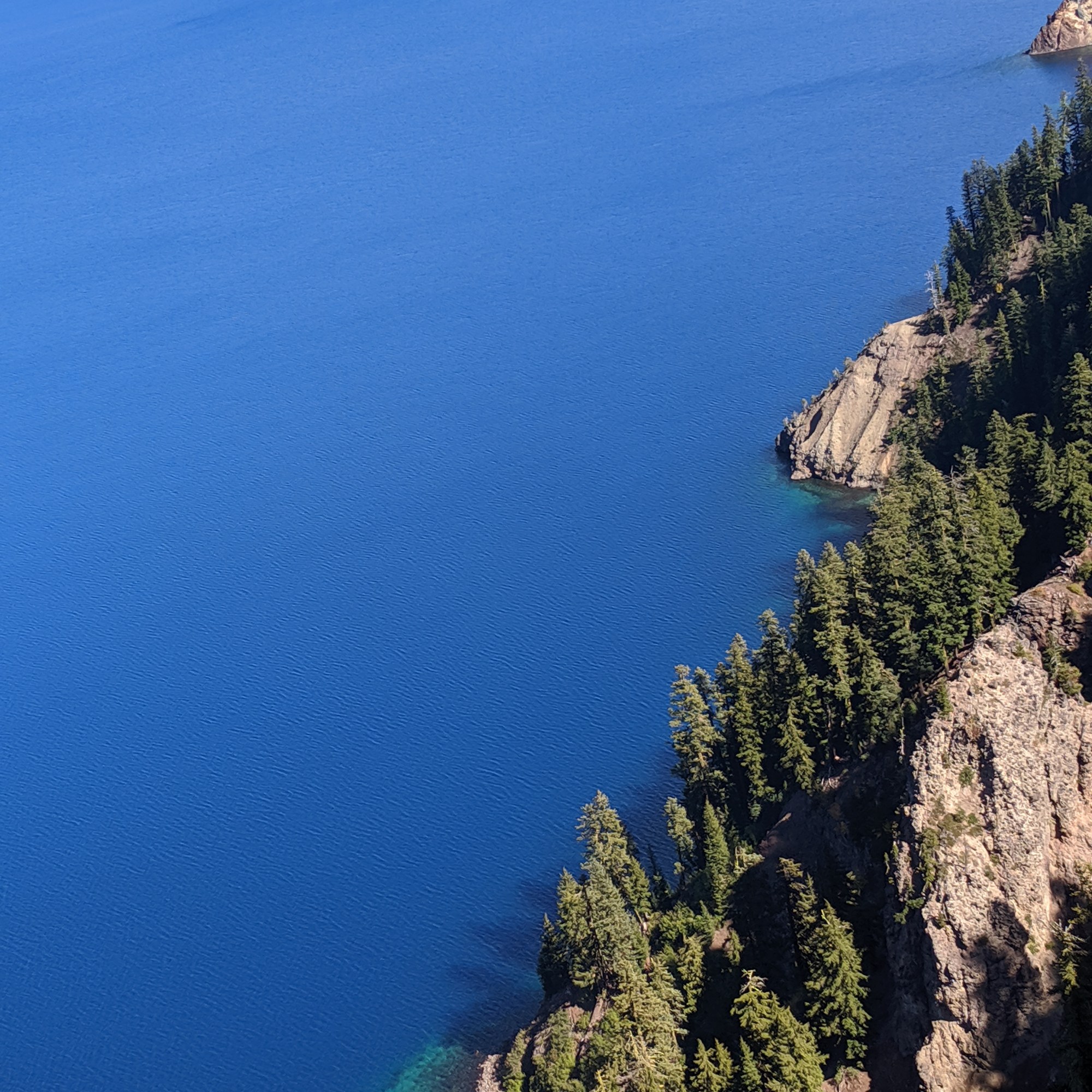
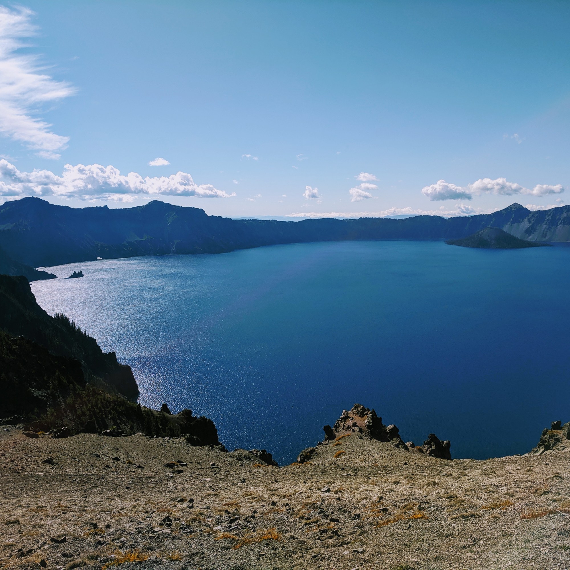
We spent the day driving all along the rim drive where there are many overlook areas to pull off the road. Rim Village has a longer walking area, cafe, and an interesting display at its Sinnott Memorial Overlook. Additional sites beyond the crater included a Vidae falls and a valley view looking towards Klamath Falls.

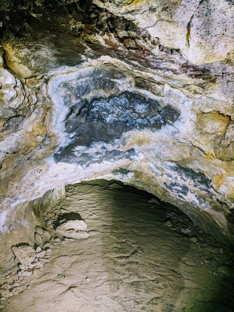
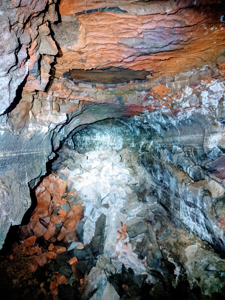
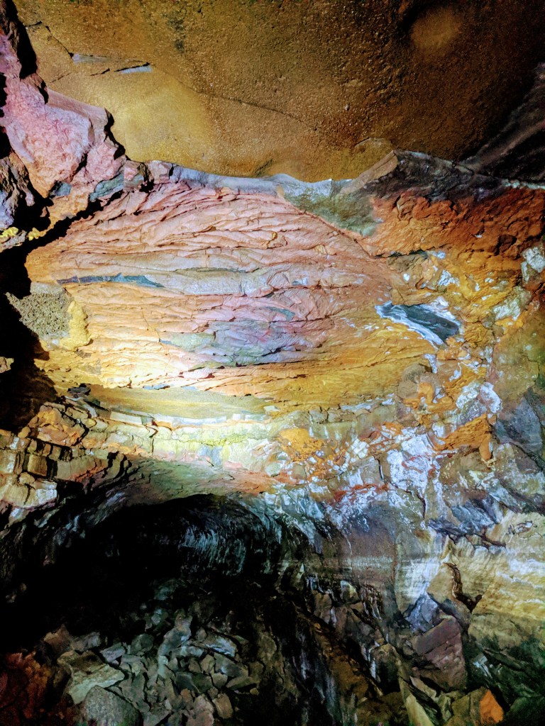
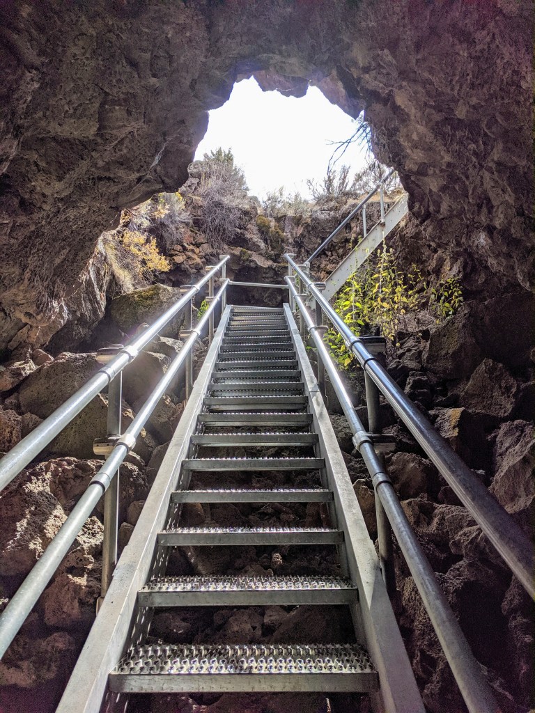
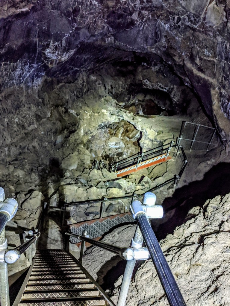
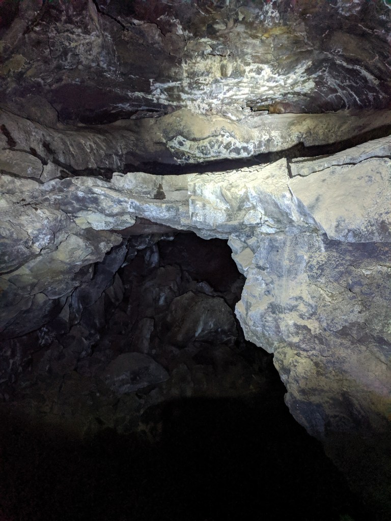
Lava Beds National Monument
The beauty of creating shorter drive days is finding a great area to spend the afternoon that was unexpected. More than 800 caves exist here and a handful available to explore. The park identifies them well with degree of difficulty and depth you can cover.
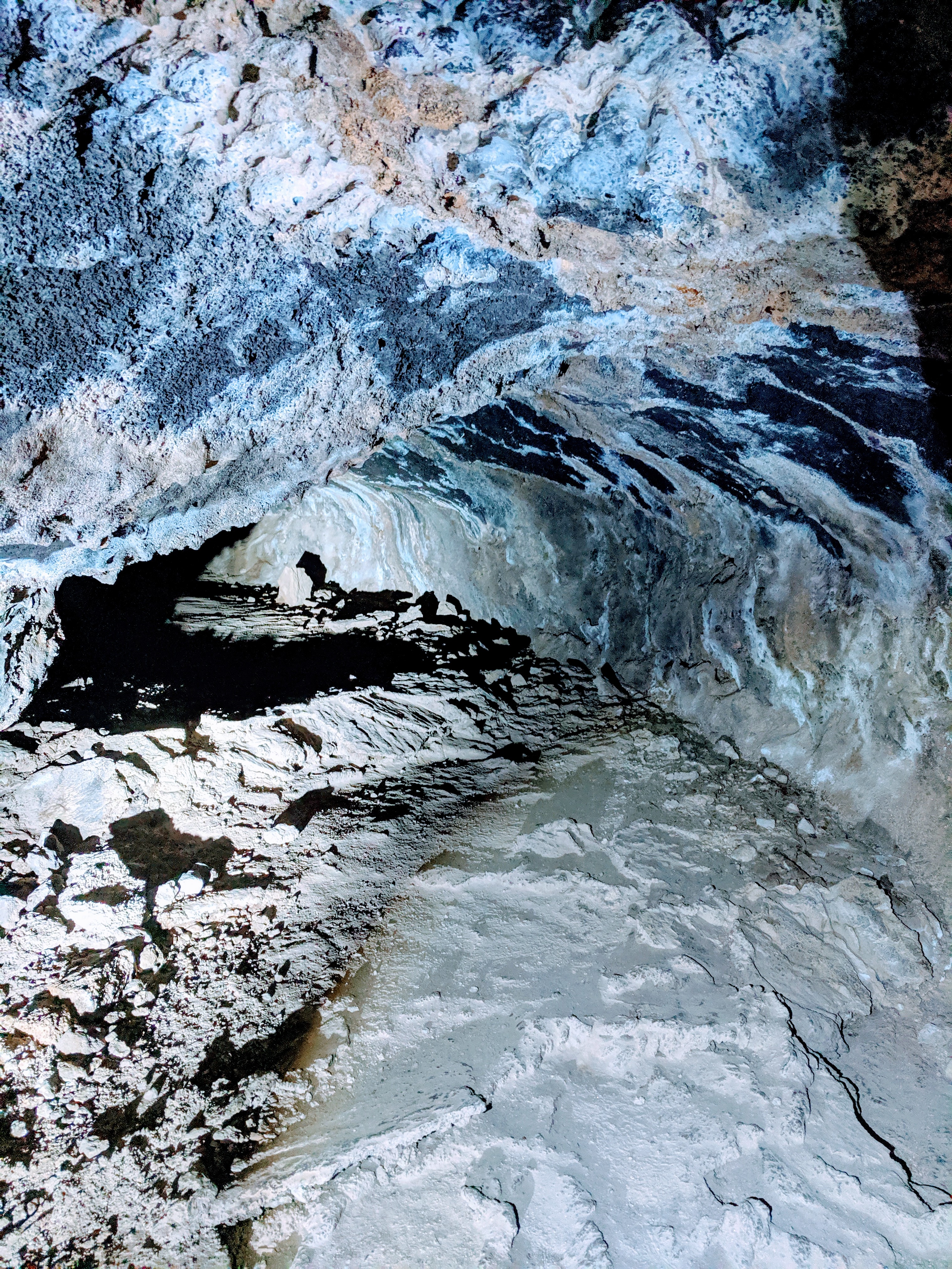
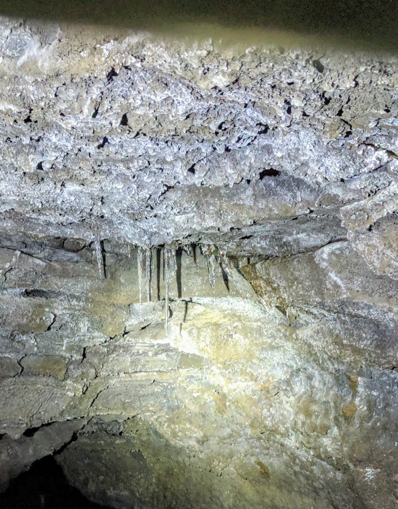
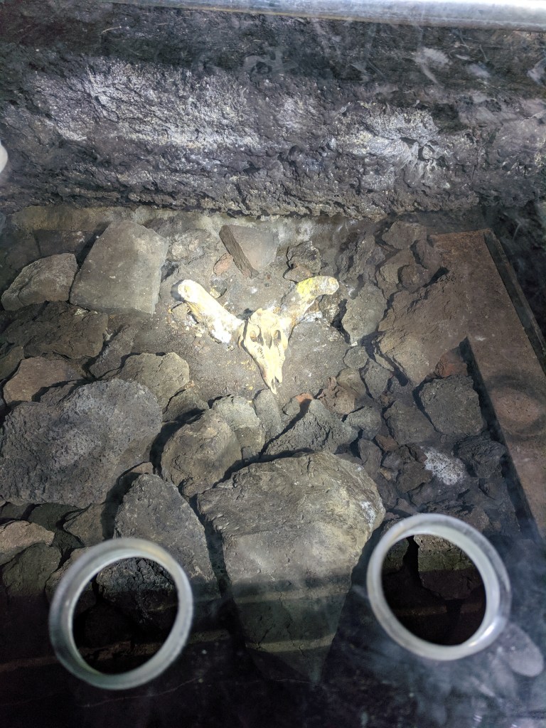
We continued onto Merrill cave which had colorful layers and then onto Skull cave, known in the past to have an ice floor in the lower level and of course skulls!
The landscape here had much more plant life on the surface than we experienced at Craters of the Moon National Park.
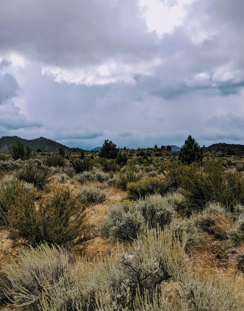
Coming up quick were some clouds which dropped some hail on us. The beginning of some cold days to come.
Where to Next?
We’ll be entering into Northern California next and decided to travel down east of the Sierras along HWY 395. Hoping for a Lake Tahoe day trip and a couple more hikes. Maybe even wander into Death Valley if the temps start coming down in the next few days.
