
Day 1
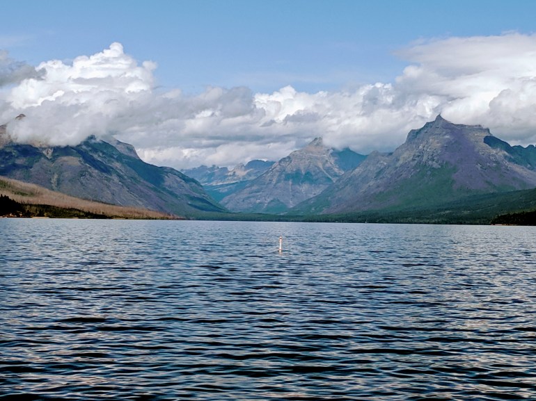
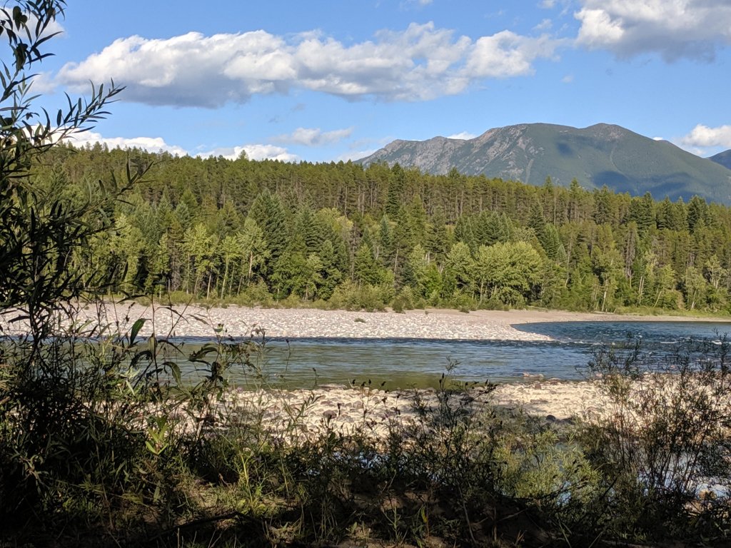
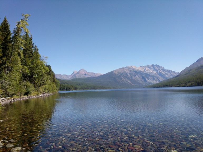
Landing in the area of the west entrance one early afternoon gave us the opportunity to get into the Apgar visitor center, visit Lake McDonald and get our bearings. Discovered free WiFi, water bottle filing stations and the shuttle schedule.
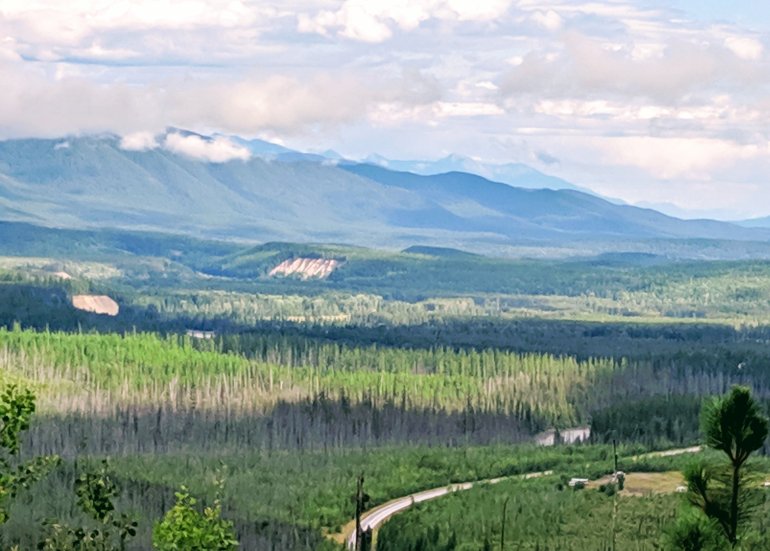
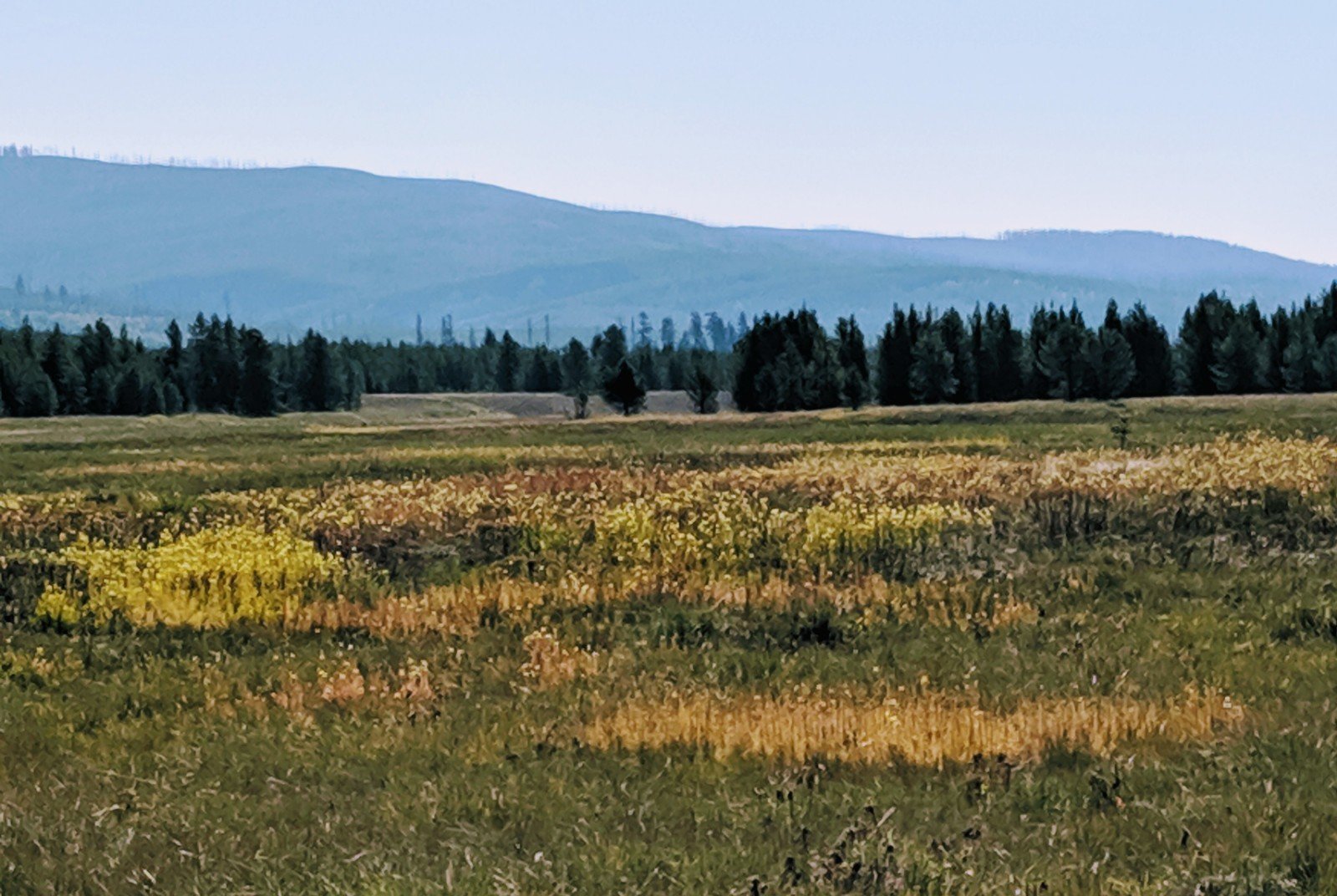
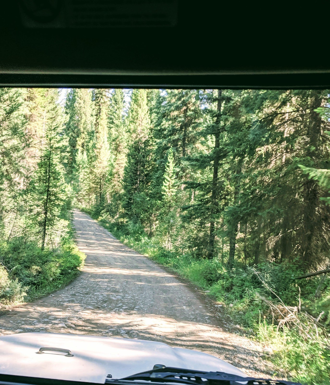
After collecting some info and maps we decided to head towards fish creek and drive the long way home. Great ideas don’t always pan out…the road was closed and we ended up turning around anyways. Still took the long way up to Camas Creek entrance and looped down the outside north fork road back down to Blankenship bridge. Long, mostly bumpy, river view forest road gave us a chance to see what other camp options are around. Off of FR803 was my favorite one and was probably the furthest down (or up) I’d go if using it to visit the park again.
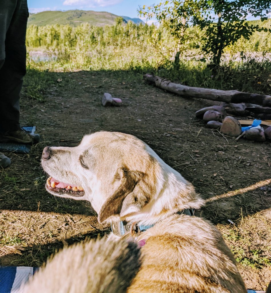
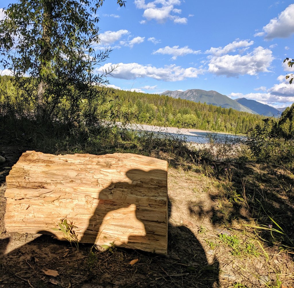
Looked forward to just being back at camp (https://workingonexploring.wordpress.com/2019/08/28/camping-outside-of-glacier-national-park/), near rivers edge, quiet nights, campfire) and a nice dinner. Who needs date night when you have a happy pup, nice view and can sip wine by the fire as the sun sinks for the evening?
Day 2 Going to the Sun Drive
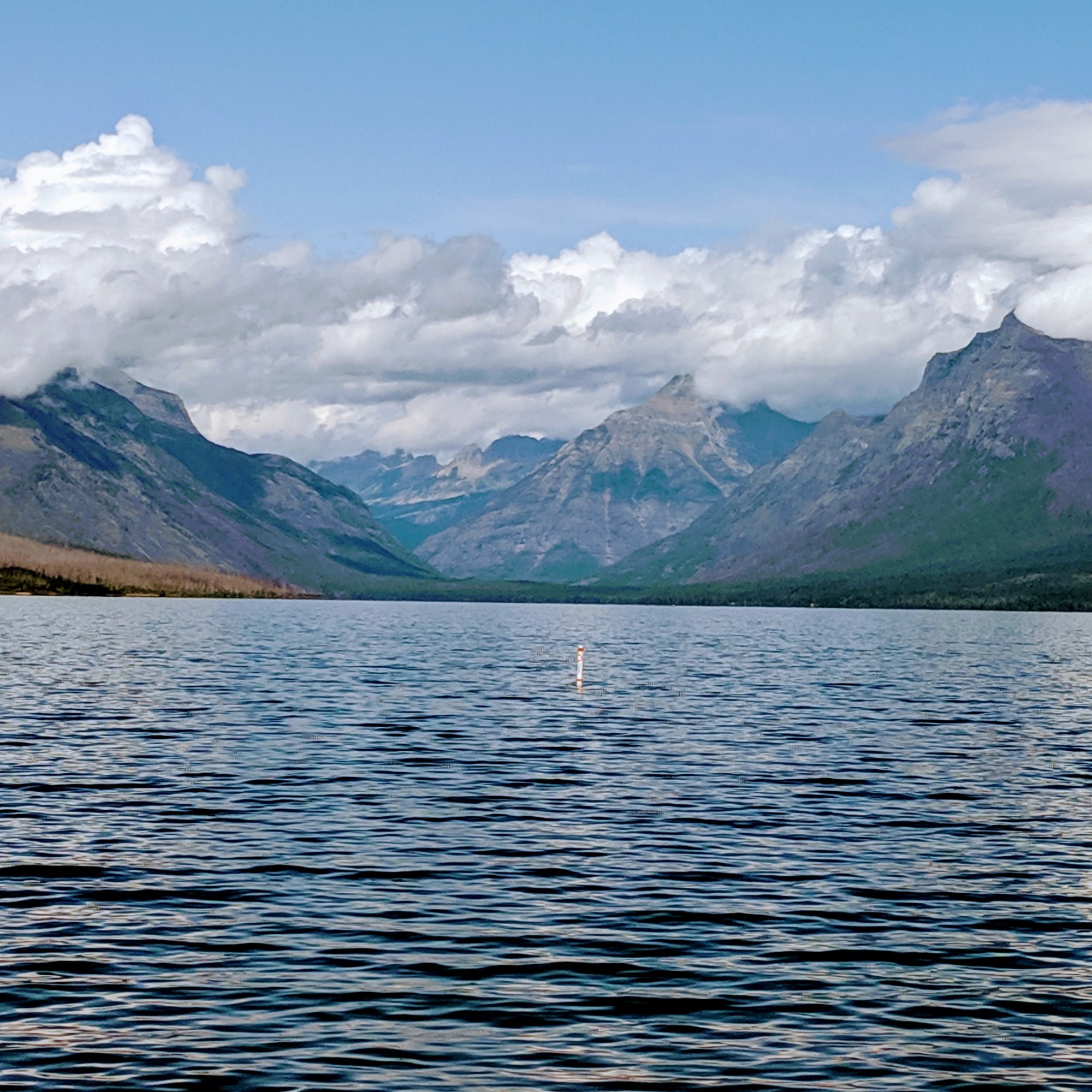
Day 2 we did the must do drive. Going-to-the-sun road from the west end starts at Lake McDonald.
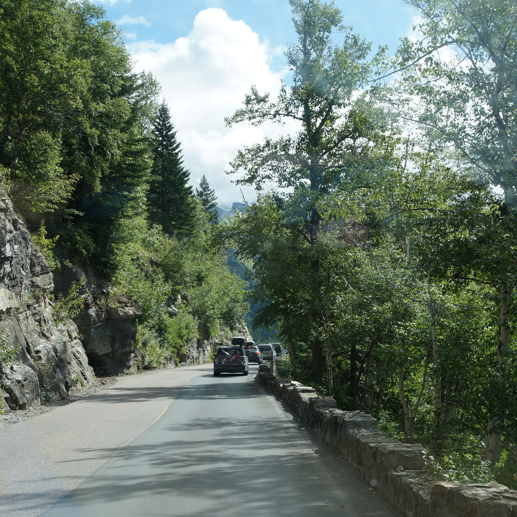
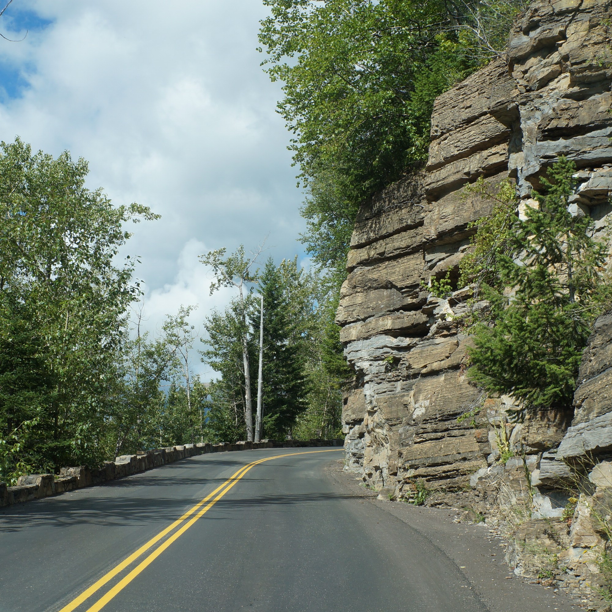
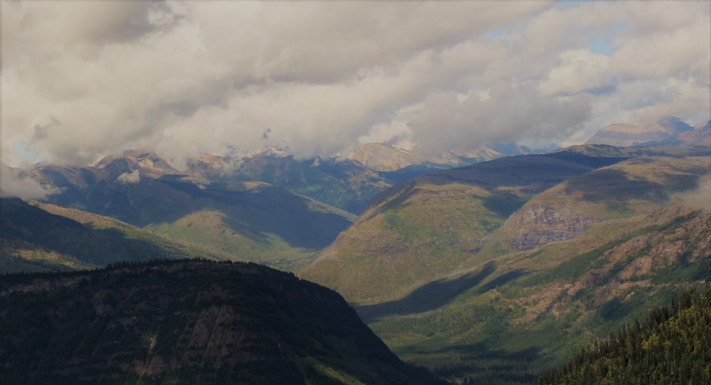
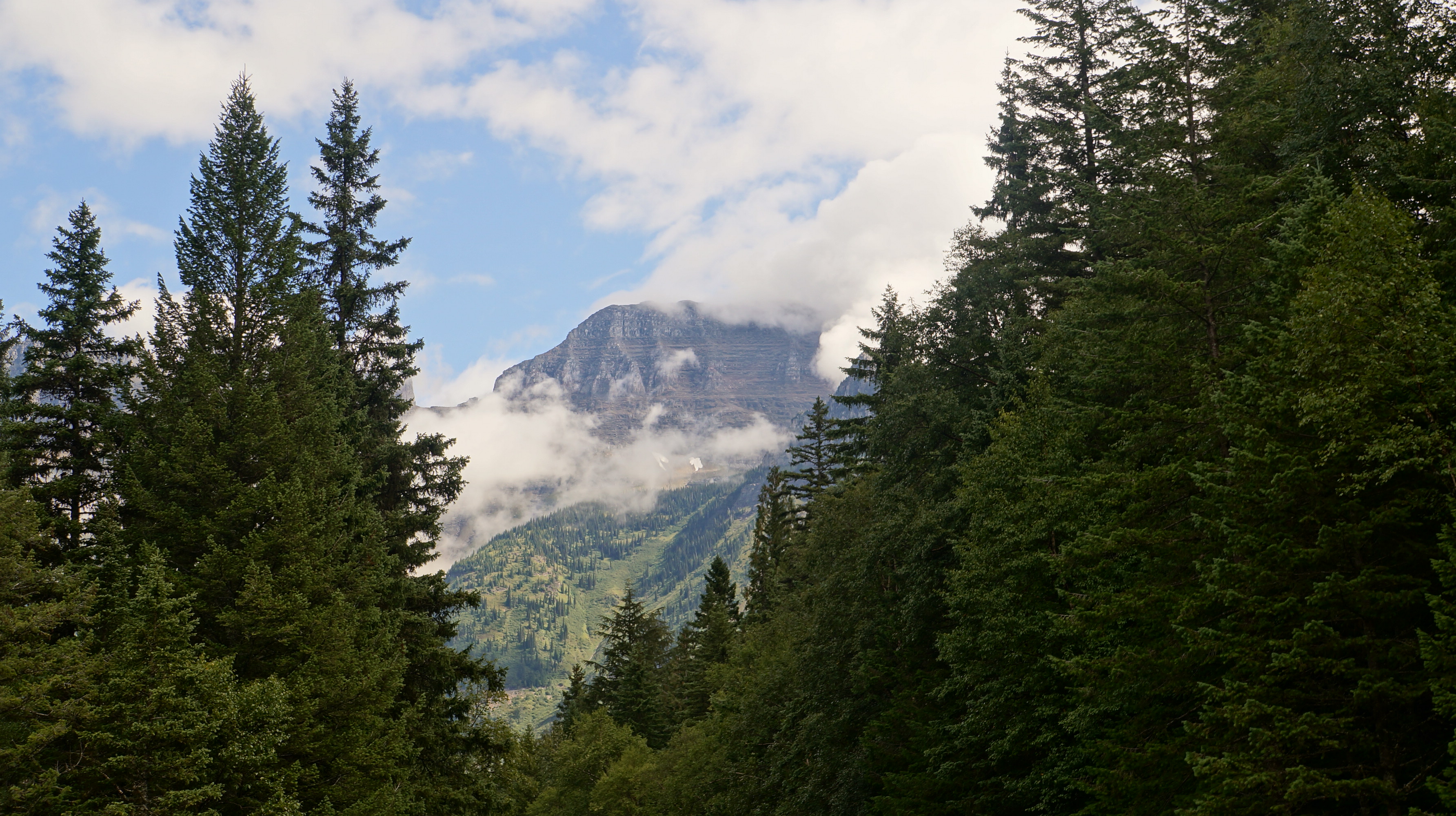
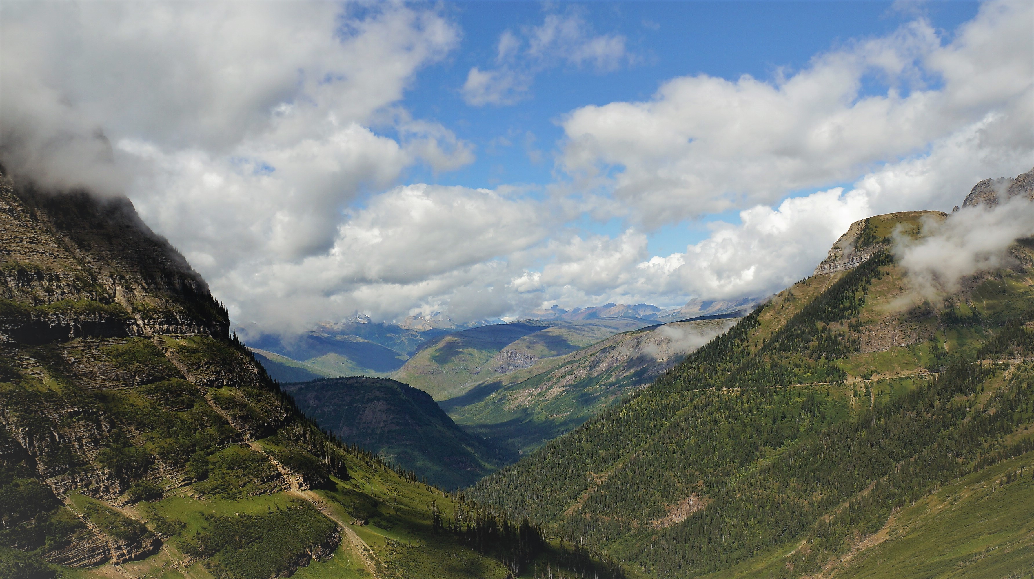
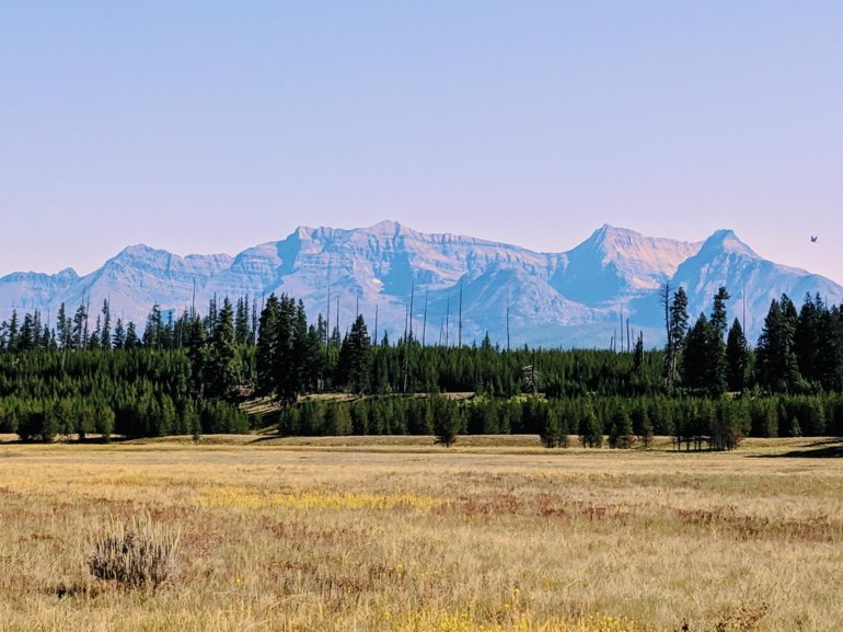
The road proceeds upward to The Loop and a view Heavens Peak. Although our elevation wasn’t extremely high we did climb above the clouds and as the cloud cover broke it created a serene valley view.
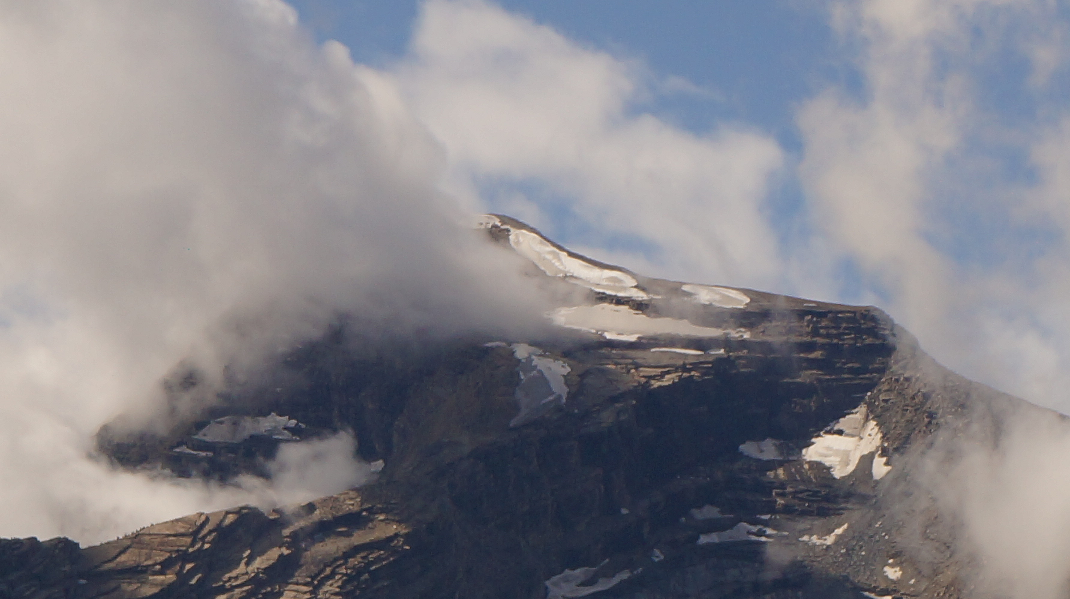
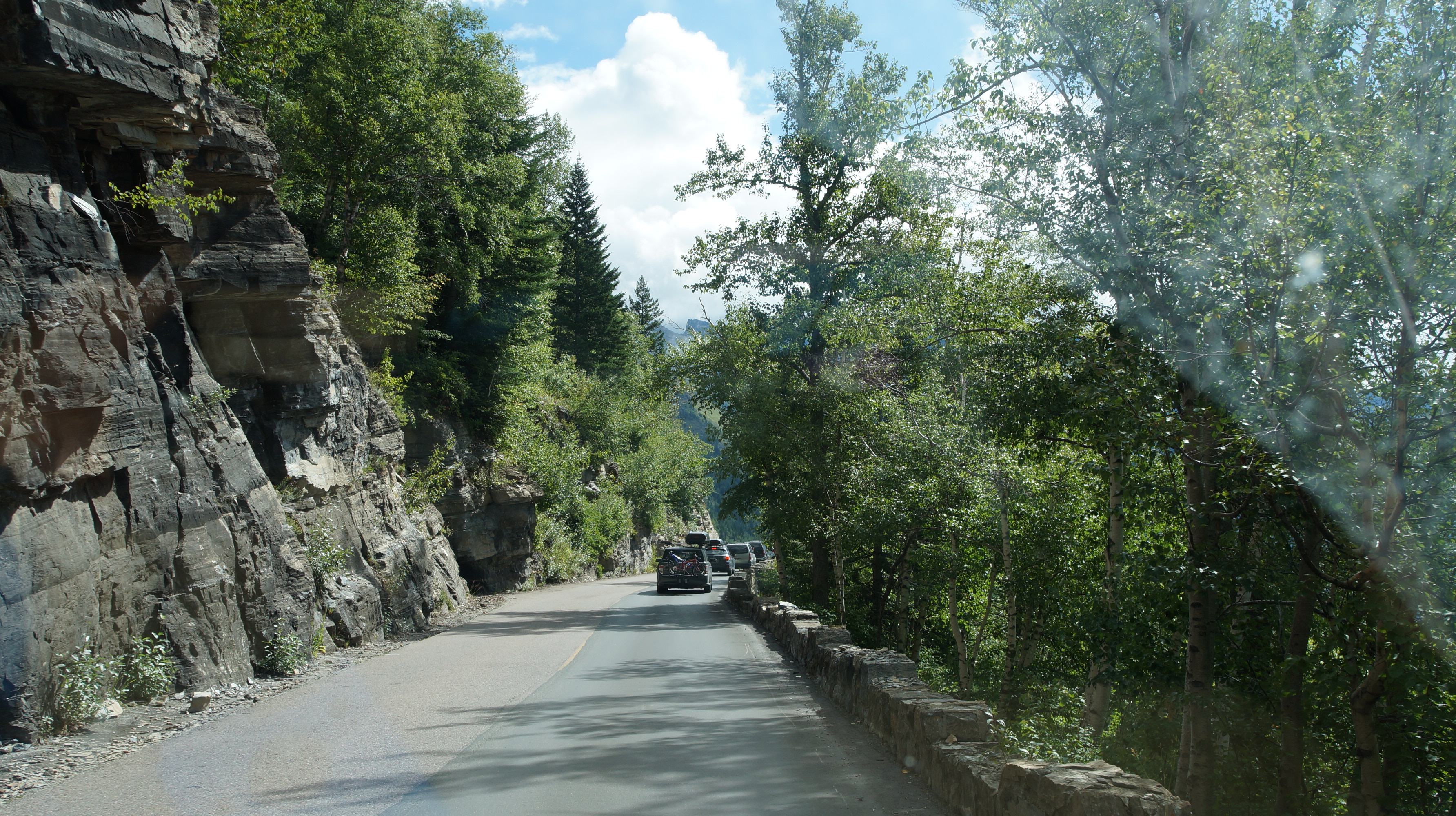
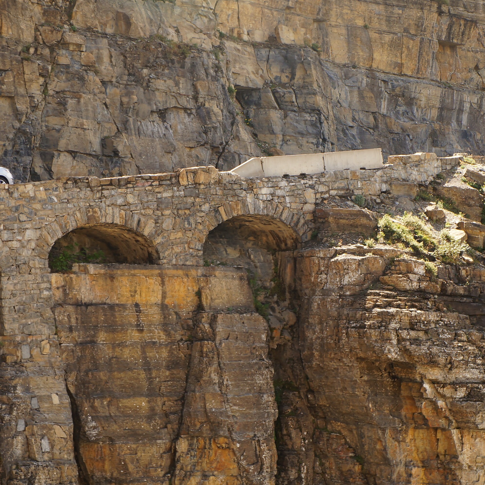
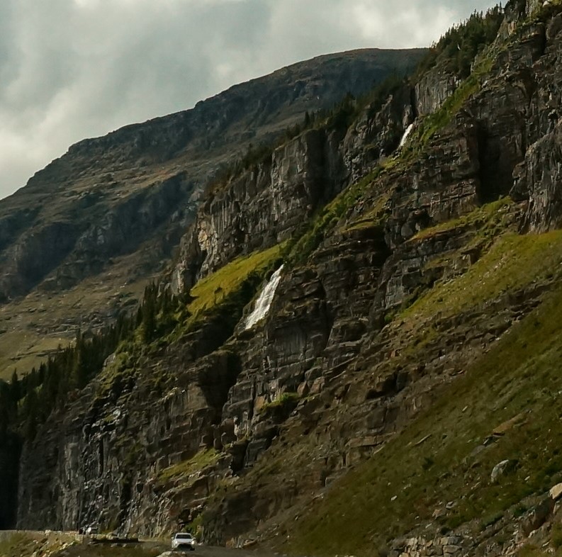
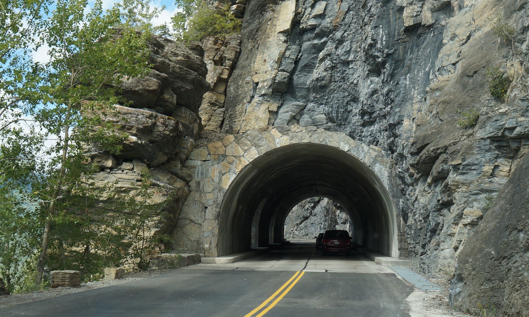
We made it to Logan pass and the visitor center was crowded with no parking; calls for securing a roadside lunch stop down the other end of the pass and through a tunnel. Weeping wall waterfalls came into view around nearly every turn.
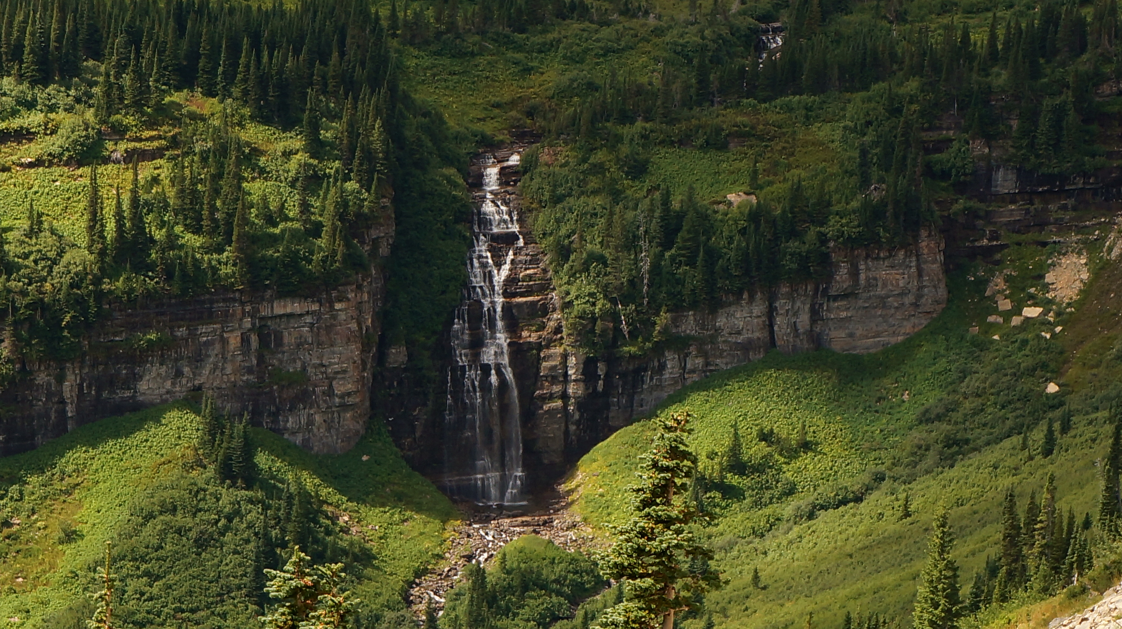
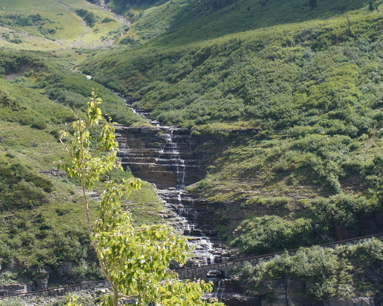
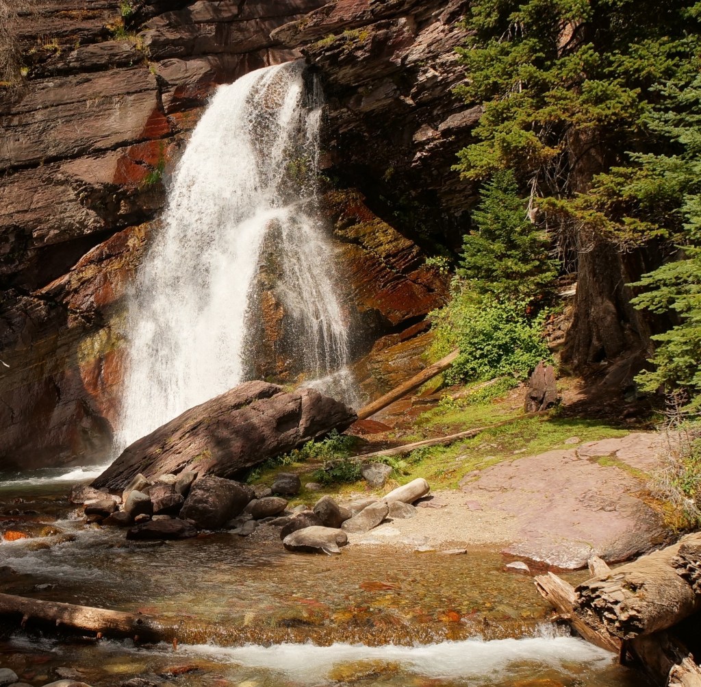
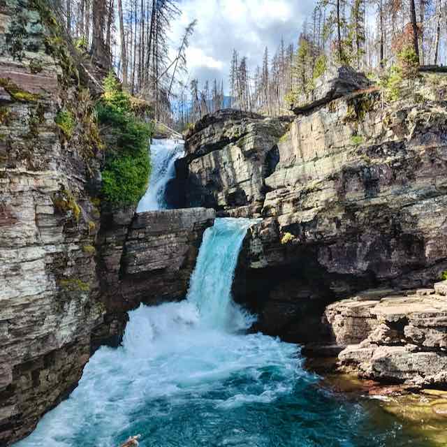
After lunch, we drove towards St Mary’s lake. Of course the main trailhead parking was also full and we landed down another mile plus…gave us a 4.4 mile hike instead of a measly 1.5 hike to the falls. There are three total along this route and we visited two of them. The hike back gave me an unexpected treat. A doe and two fawns were hanging out and walked right past us. Close enough for us to reach out and touch.
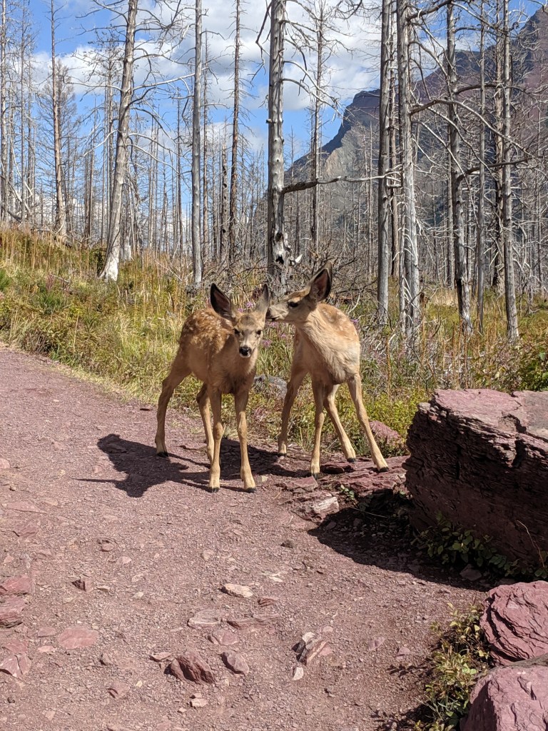
Doe and Fawns on the trail – click to see video
https://1drv.ms/v/s!AvI_Z4ZtucR67ju5wPY8YQAFbR9N
The return drive was long, slow and uneventful except for getting stuck behind a pair of touring shuttles.
Day 3 how far north can we go
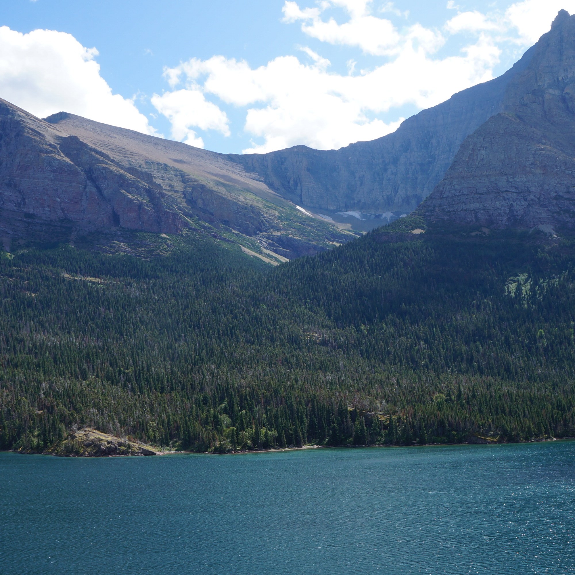
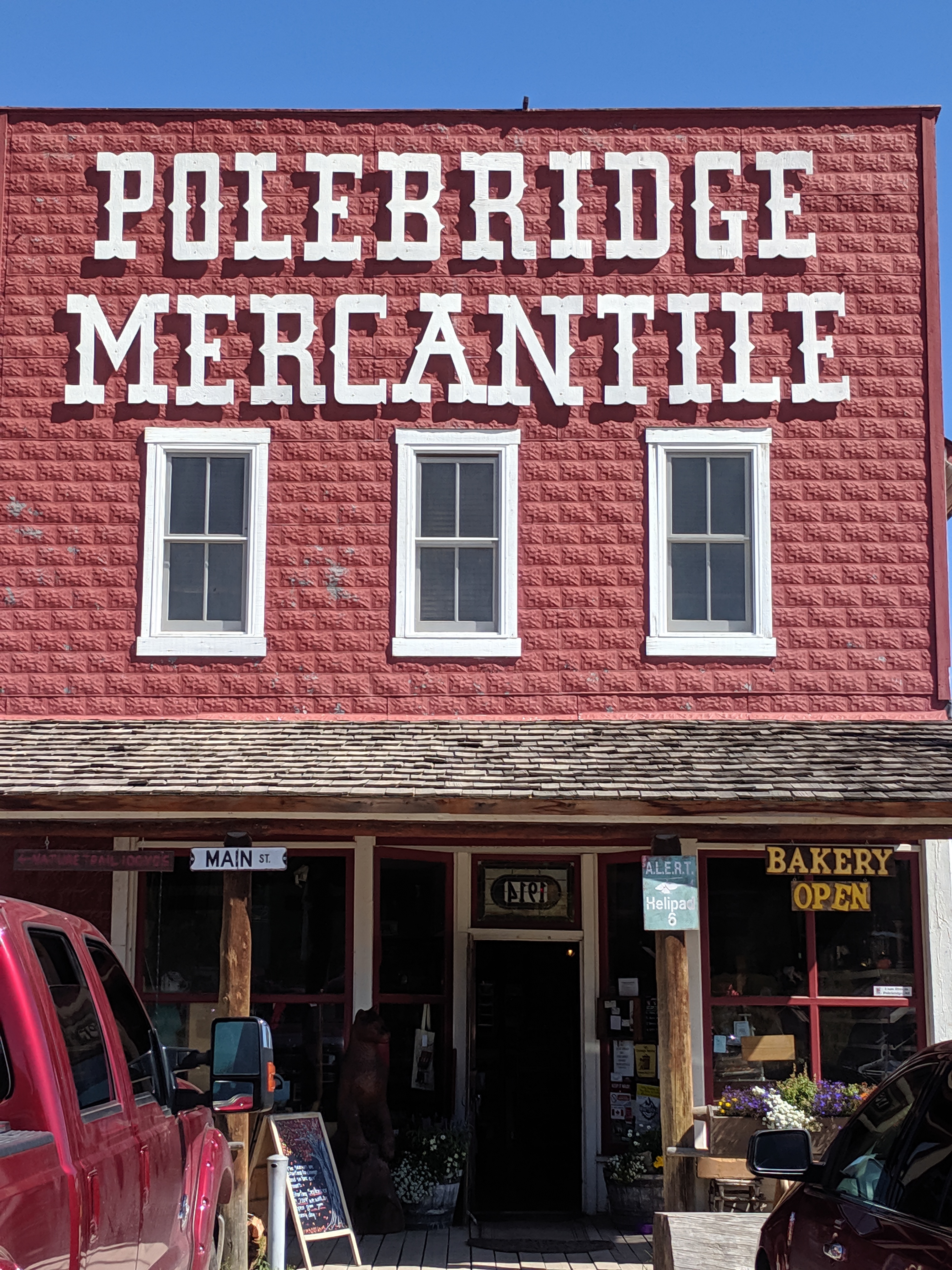
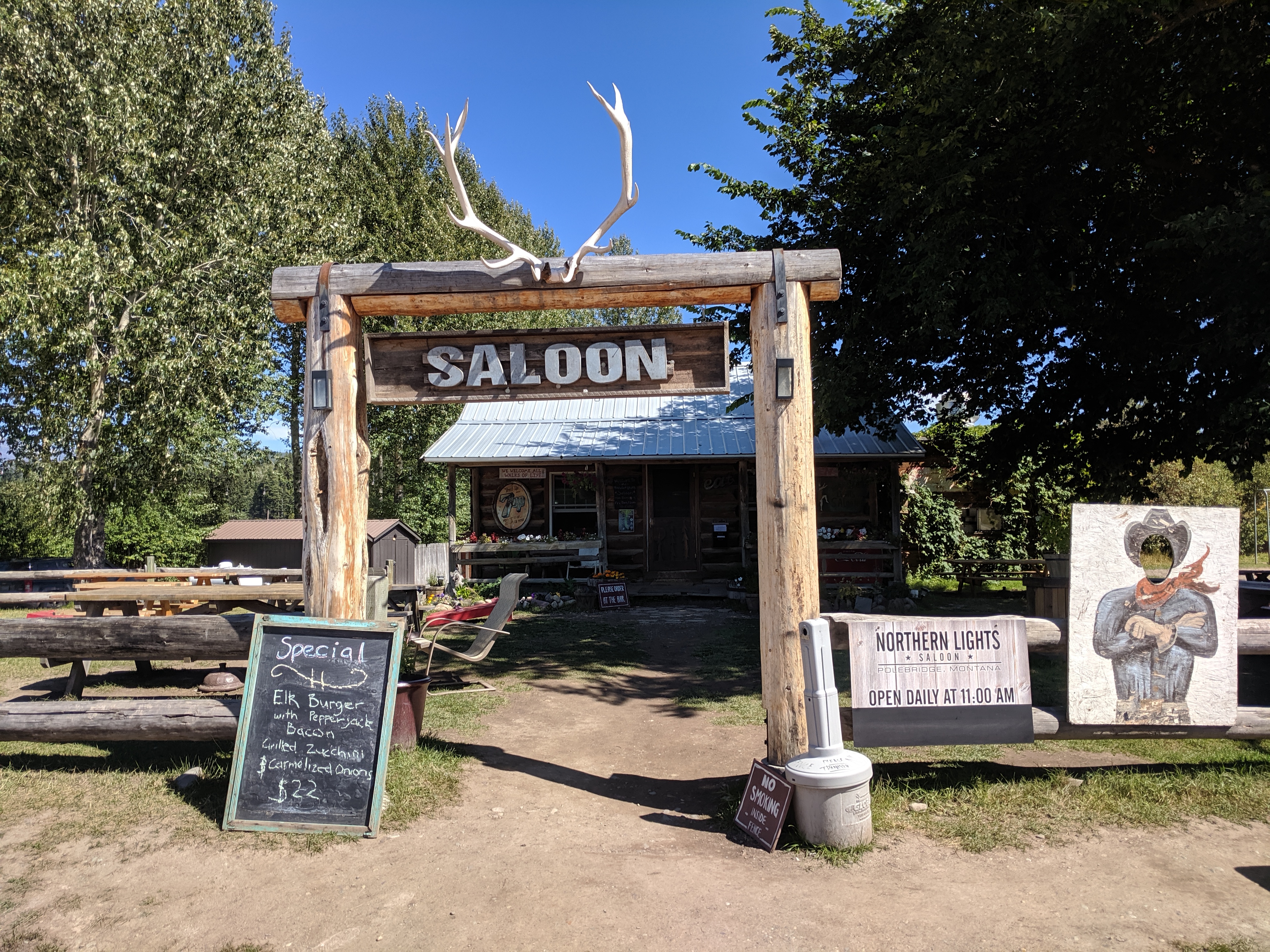
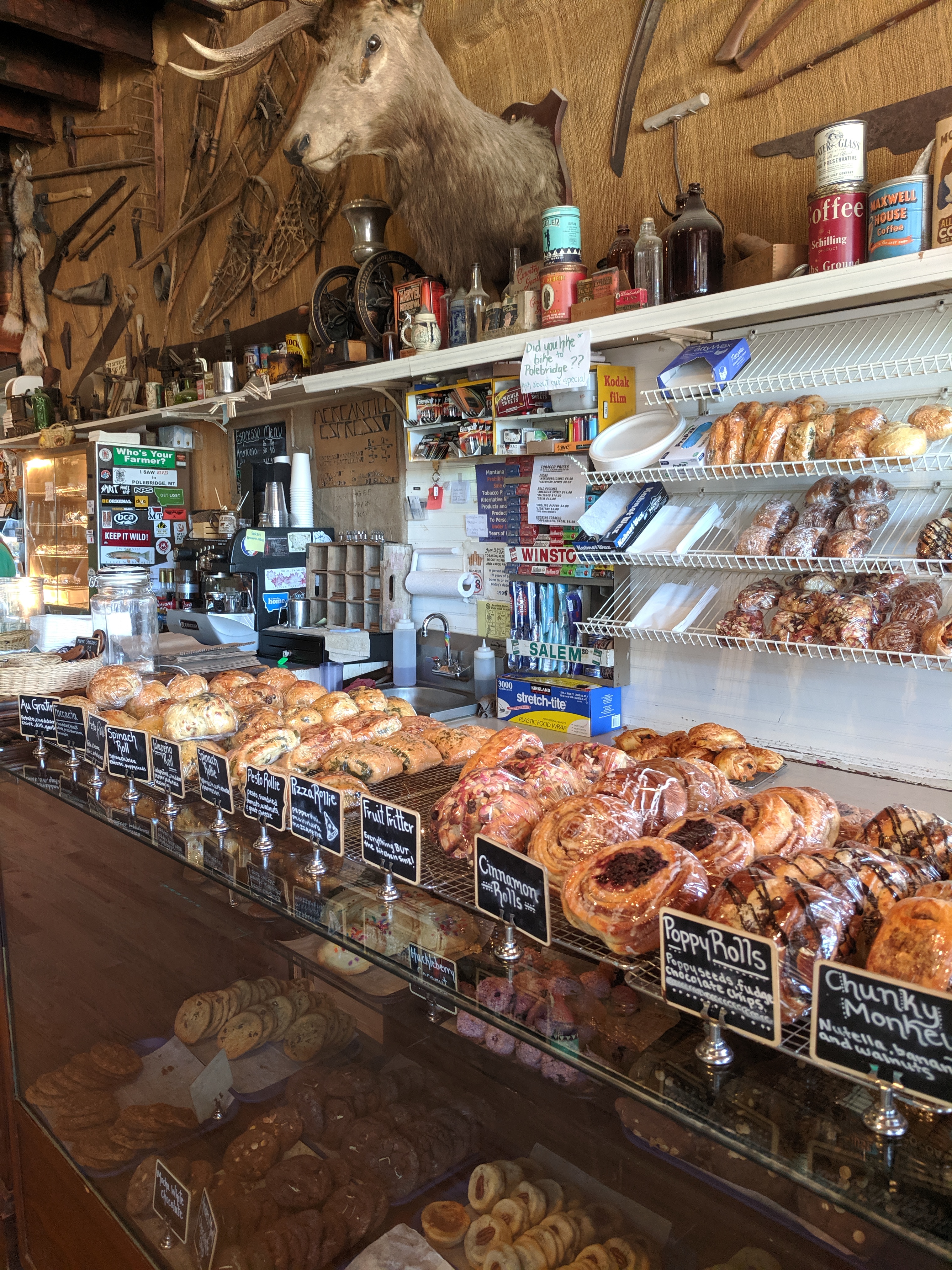
Day 3 we decided to see what the furthest northwest entrance and a lakeside hike would be like. Drove all the way up to Polebridge on the Outside North Fork road. Polebridge was a cute little outpost of camping, mercantile, saloon, restrooms and a worthy stop coming or going. There’s also a boat access as you continue on towards the ranger station. Ranger station had flushing toilets and running water…I’m sure that’s a plus for the backpackers coming through the station!
We had 2 lakes to chose from and based on the ranger recommendation we chose Kintla Lake.
From camp to this lake turned out to be a 2 hour drive. Beautiful meadows, private ranches, and a restored early 1900s homestead can be found on the way to the lake. The Jeep ride was quite bouncy until Steve stopped to reduce our tire pressure…much more comfortable.
The trail was called Boulder Pass and we hiked along the shoreline about 1/3 of the lake. It is an artery for backpackers to explore the exquisite back country. Keeping in mind the long drive back to camp, we kept the lakeside walk somewhat short. We had a long drive back ahead. Ran into the UPS driver delivering to the two ranches way up here…that’s his route…delivering Amazon Prime to the middle of no where!
Where to Next
A trek to the east side of the park wasn’t originally planned but we decided a hike up in Many Glacier would be a worthwhile expedition.

Fantastic post! Looks like a great time in a beautiful place!
LikeLike